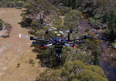
LiDAR

Geotechnical Monitoring solution For High Risk slopes
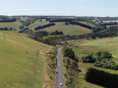
monitoring of road corridor and associated high risk slopes to support on-going…
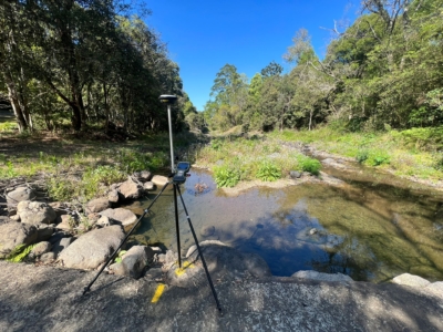
Survey Solution for Flood Recovery Works
Drone LiDAR, orthophoto, conventional survey and services location of 37no. sites to…
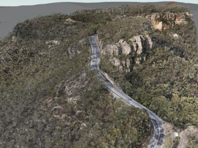
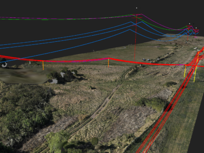
Digital Twin of Road Corridor
Aerial LiDAR and photogrammetry survey of ~51km road corridor and adjacent slopes…
Spatial Survey for Windfarm Project
Drone LiDAR, orthophoto, terrestrial laser scanning and survey of project area and…
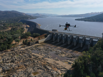
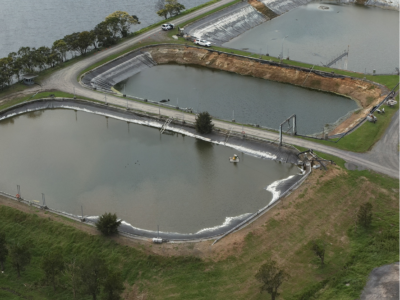
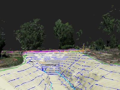
Change Detection of Dam Spillway
Drone LiDAR and photogrammetry survey of dam spillway after rain events to…
Geospatial Survey of Road Corridor
Drone LiDAR, photogrammetry modelling, terrestrial laser scanning and detail survey of road…

3D Survey & Digital twin of Dam & Water Infrastructure
Drone LiDAR, photogrammetry and high definition terrestrial laser scanning of water infrastructure…
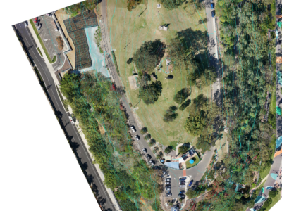
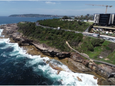
Aerial Survey of Council Lookout for Geotechnical Assessment
Drone-LiDAR survey and 3D photogrammetry modelling of slopes and surrounding area of…
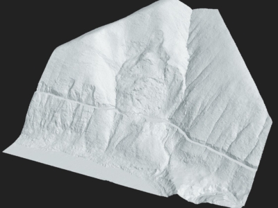
Complete Spatial Solution for Geotechnical Assessment
LiDAR, photogrammetry and Laser Scanning of road corridor and landslip for geotechnical…
Geospatial Survey for Geotechnical Assessment
Drone LiDAR, photogrammetry modelling and geospatial analysis of rockfall and landslide to…
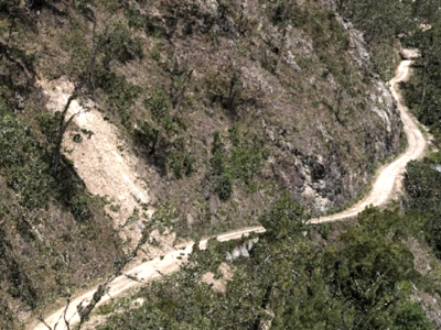
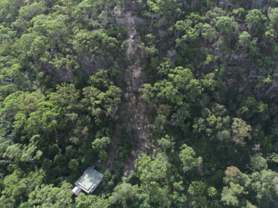
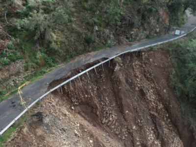
Drone Survey for Landslip Assessment
Drone LiDAR and photogrammetry survey of landslip area to identify extent of…
Water Treatment Plant Reservoir Survey and Modelling
Drone-Lidar and Photogrammetry survey of water treatment plant reservoir for condition assessment…
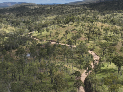
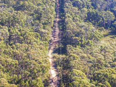
LiDAR for Topographic Surveys
Drone LiDAR Survey for terrain modelling and extracted topographic data for surveying…
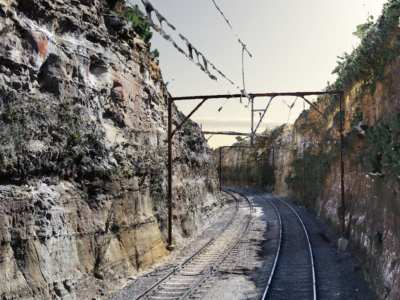
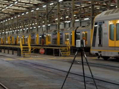
As-Built Survey of Rail Corridor for Engineering Design
High resolution drone LiDAR, photogrammetry and as-built survey of rail corridor for…
Geospatial Survey to Support Transmission Line Design
Topographic and detail survey over proposed electricity transmission alignment for engineering design….
Survey of Multiple Landslides
Combining drone lidar, photogrammetry and terrestrial laser scanning of multiple landslip sites…
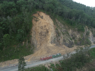
Geospatial Survey of Roadway Landslide
Using Drone Lidar and photogrammetry to inform geotechnical Risk assessment and design…
Complete Spatial Survey Solution
Geospatial survey solution combining drone lidar, photogrammetry, laser scanning and multi-beam sonar…
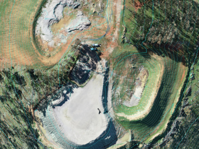
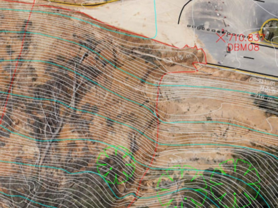
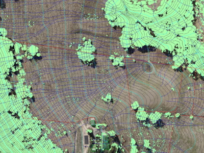
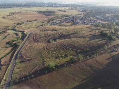
LiDAR Survey of Historic Mining Area
Drone-LiDAR Survey to develop a High resolution terrain model of historical mining…
Drone-LiDAR and Photogrammetry Modelling for Engineering Design
Drone-LiDAR Topographic Survey and High Detail Photogrammetry modelling of Thredbo Valley Track…
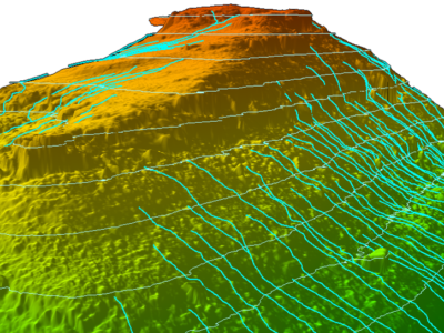
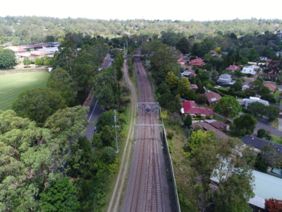
Slope Drainage Monitoring and Watershed Analysis
LiDAR and geospatial analysis of rail corridor slopes for inspection and monitoring…
LiDAR Survey of Roadside Cuts and Slopes for Stabilisation Designs
Drone-LiDAR derived topographic survey and photogrammetry modelling for slope stabilisation designs PROJECT…
OHL Inspection and Monitoring using Laser Scanning
Laser Scanning and drone-inspection for OHL conformance and clearance monitoring PROJECT OVERVIEW…
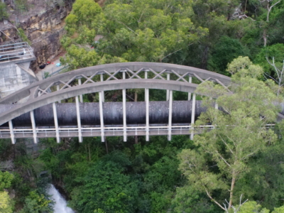
Bridge Inspection and LiDAR derived Geotechnical Assessment of Abutments
Close visual inspection of bridge and LiDAR survey for geotechnical assessment of…
Drone LiDAR survey of HV Feeder for Vegetation Reporting
Drone LiDAR aerial scoping and vegetation reporting of newly constructed HV Feeders…
Drone survey of HV Feeders for Vegetation Defect Mapping
Vegetation defect mapping along 4km of HV Feeders within surburban rail corridoR…
Photogrammetry derived Reality Capture for Boardwalk Design and Geotechnical Assessment
High resolution drone LiDAR survey and Photogrammetry modelling for design of elevated…
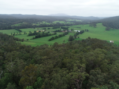
Drone LiDAR survey for DA Survey of Rural Land
Drone based contour survey and boundary stakeout of 30ha rural property for…
LiDAR Survey and Reality Model for Geotechnical Assessment of hillside
High resolution drone LiDAR survey and 3D reality modelling to inform geotechnical…
DA Survey of Semi-Rural Property using LiDAR
Drone based contour survey of semi-rural property for subdivision planning and DA…
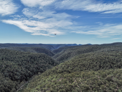
Geo-Hazard Mapping and Slope Risk Assessment
High resolution Drone-LiDAR survey for slope risk assessment of remote and densely…
LiDAR Survey for Geotechnical Assessment
High resolution Drone LiDAR survey of Illawarra Escarpment for geotechnical assessment and…
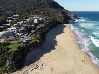
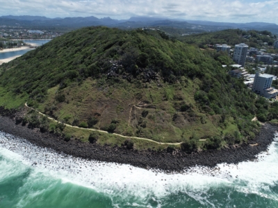
Coastal Erosion
A reasearch and development project utilising drone LiDAR and Photogrammetry for coastal…
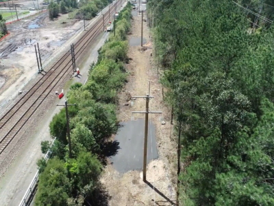
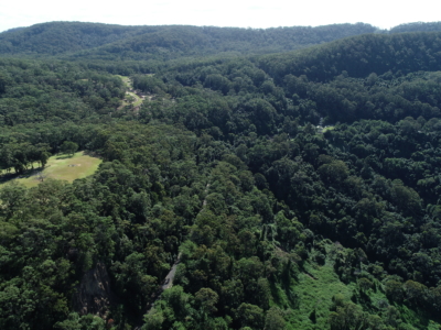
Rail Corridor Drainage Mapping
Drone LiDAR survey through dense vegetation to identify and map surface drainage…
HV Feeders Inspection
Aerial scoping and inspection of HV Feeders throughout low access-high risk areas…
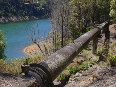
Inspection of water supply pipeline
High detail Reality Capture over 5km of water supply pipeline using drone…