Drone Survey
Diospatial’s industry leading drone survey capabilities provide engineers and asset owners with an accurate survey solution and understanding of the site conditions. We leverage the relative strengths of different technologies to create immersive digital spatial survey solutions.
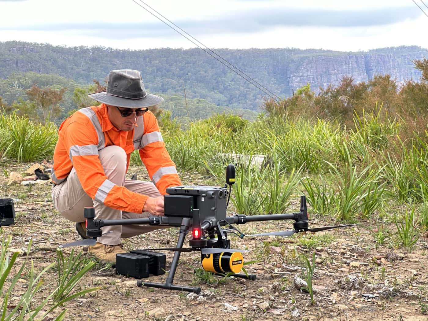
WHAT IS A DRONE SURVEY?
A drone survey is an aerial based reality capture solution, that captures information about the topography, geomatics or other spatial and imagery information about a site. Typically, it involves the use of drone LiDAR, drone photogrammetry, or other remote sensing technologies, combined with geospatial information.
At Diospatial, we utilise multiple reality capture technologies including drone LiDAR, drone photogrammetry, aerial imaging, GPS locator and thermal imagery. We select the most ideal technology, or combination of technologies, to deliver the most optimal deliverable based on the site conditions and project requirements.
Our drone surveys are combined with a robust network of ground control points to ensure the spatial data is geolocated and spatially accurate, and can be relied upon for surveying and engineering.
We work with your team to understand the specific application and then develop the most effective methodology – whether that is drone LiDAR, drone photogrammetry, or a combination of all.
applications of drone survey
Drone survey is ideal for projects that cover vast areas, are hard to access, and require a variety of spatial data deliverables. These may include:
- Topographic modelling of large areas
- Topographic modelling of vegetated terrain
- Geotechnical survey
- Reality capture of large scale infrastructure, like dams, pipeline, rail network, and more
- Inspection
- Dilapidation Survey

deliverables
Depending on the reality capture technologies that are used, different data deliverables will be produced to meet the requirements of the project. Deliverables may include, but are not limited to:
- Point cloud
- Digital terrain model or surface mesh model (TIN model)
- Geospatial information including elevation contours and watershed analysis
- Orthophoto
- Reality model
- Site imagery
- Feature extraction
- Detail and level survey
- Conventional survey
The outputs can be exploited in any number of spatial and CAD applications, and most commonly form the basis of a scan-to-CAD or scan-to-BIM workflow.
Our team is known for delivering the highest quality data and customer service in the industry. A relentless focus on quality control ensures we consistently meet or exceed project specifications. We understand client satisfaction requires client success, and our outcome-driven approach starts at scope development. We work with your team to ensure survey specifications and outputs are optimised to meet downstream user requirements and our support continues beyond delivery to ensure maximum utilisation of the data outputs.
IN THE NEWS

HOW DIOSPATIAL OVERCAME GEOTECHNICAL ENGINEERING CHALLENGES FOR A 170KM LONG RURAL ROAD IN AUSTRALIA

Past Projects
Drone Survey for Landslip Assessment
Drone LiDAR and photogrammetry survey of landslip area to identify extent of…
LiDAR for Topographic Surveys
Drone LiDAR Survey for terrain modelling and extracted topographic data for surveying…
Drone-LiDAR and Photogrammetry Modelling for En…
Drone-LiDAR Topographic Survey and High Detail Photogrammetry modelling of Thredbo Valley Track…
Inspection, Survey and Defect Mapping of Dam us…
High resolution inspection and defect mapping over more than 60,000m2 of concrete…