
Energy
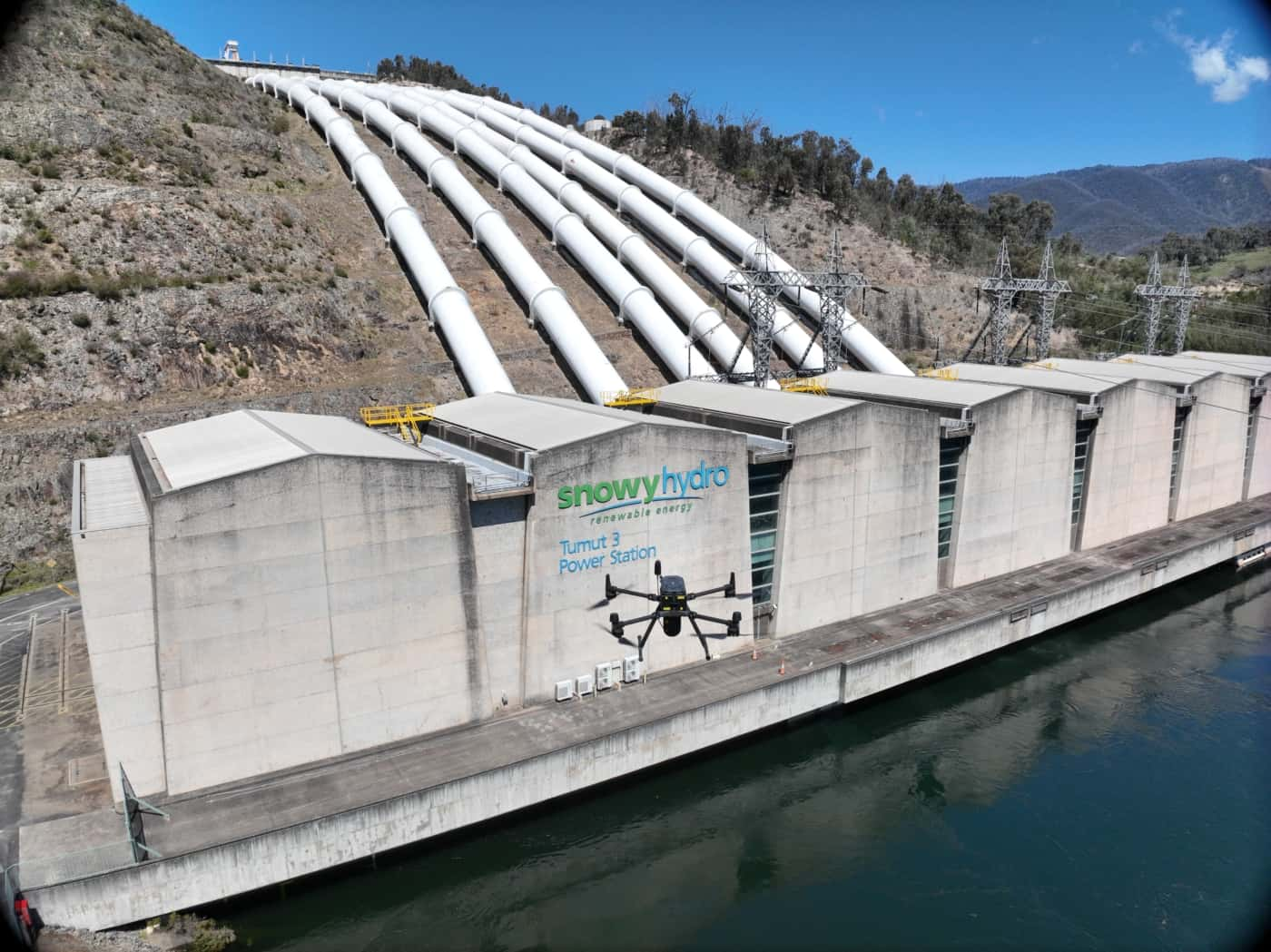
Leveraging a range of reality capture and remote sensing technologies, Diospatial has successfully delivered drone survey for the energy sector. This includes drone photogrammetry modelling of power stations, aerial inspections of HV feeders and LiDAR vegetation analysis. Diospatial has worked across multiple infrastructure types in the energy sector including pipelines, solar panels, transmission lines and sub-stations.
Our reality capture solutions enable energy owners and operators to:
- Improve the safety of asset inspections
- Enable remote inspection therefore reducing personnel on-site
- Provide access to hazardous and hard to reach locations in a safe manner
- Provide a more complete picture of asset condition and context
SERVICES WE PROVIDE in the energy sector
Diospatial has worked closely within the energy sector to deliver innovative solutions including:
- Digital Twins for remote close visual inspection
- Aerial scoping of high voltage feeders in low access high risk easements
- LiDAR vegetation analysis and algorithm development for various asset classes and defect categories
- High Risk Tree and Fall-in potential mapping for HV and pipeline corridors
- Pole Top and Transmission Tower Close Visual Inspection
- Reality Modelling (photogrammetry and laser scanning) of substations and electrical infrastructure
- High resolution aerial survey and mapping in support of REF, EIS, and SIS
- Precision aerial survey for change detection, displacement monitoring and design planning
- 3D modelling for remote inspection, modelling and site visualisation
PAST PROJECTS
Spatial Survey for Windfarm Project
Drone LiDAR, orthophoto, terrestrial laser scanning and survey of project area and…
3D Survey & Digital twin of Dam & Wat…
Geospatial Survey of Dam & Infrastructure using Drone LiDAR, photogrammetry, laser scanning…
Geospatial Survey to Support Transmission Line …
Topographic and detail survey over proposed electricity transmission alignment for engineering design….
Aerial Scoping and Inspection of HV Feeders
Drone based aerial scoping of HV Feeders throughout low access-high risk areas…