Technologies

LiDAR
Diospatial was one of the first companies in Australia to integrate LiDAR sensors and aerial drone technologies for engineering and survey purposes. Since then, the team has led the charge in extracting insights and adapting the technology to inform engineering decisions on some of Australia’s most critical infrastructure. Today, LiDAR is an integral reality capture technology within Diospatial’s toolkit. It is ideal for land survey applications, transport corridors, powerlines and heavily vegetated terrain.
Photogrammetry
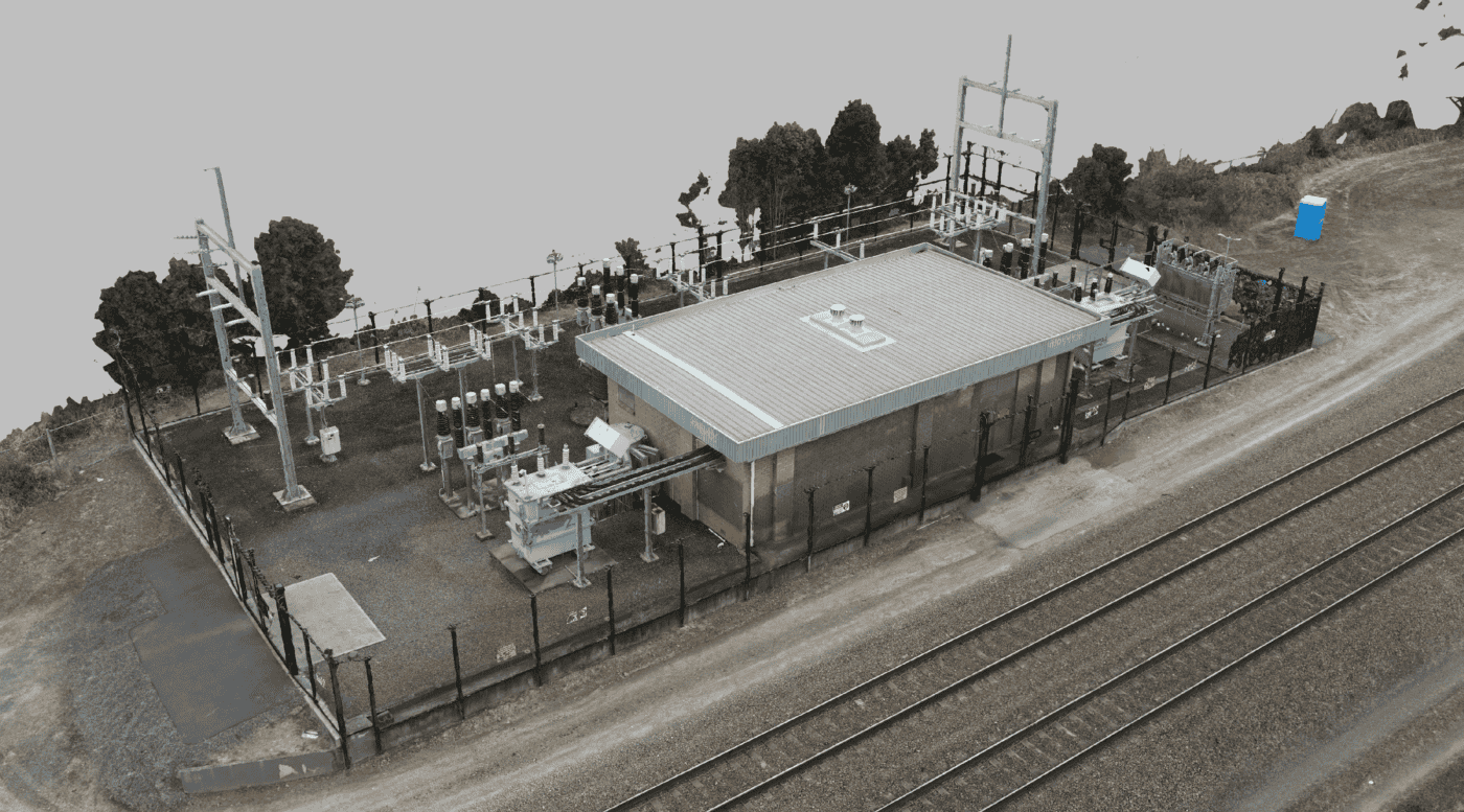
Diospatial has a reputation for consistently delivering industry leading level of detail and accuracy in photogrammetry of complex environments. Our highly experienced remote pilots are also experts in photogrammetry modelling with an advanced understanding of aero triangulation and reconstruction requirements. Photogrammetry has rich visualisation quality, a high level of precision and is cost efficient. This makes it an ideal tool for survey of non-vegetated areas, reality modelling of large structures and digital inspection of assets.

Laser Scanning
Diospatial’s advanced understanding of laser scanning technologies and principles allows our team to consistently deliver precise and detailed point clouds of highly complex environments. Our team has extensive experience capturing complex structures, plant rooms and confined spaces. Laser Scanning is the ideal tool for precise reality capture of structures like bridges, tunnels and buildings.

imaging
Diospatial’s imaging solutions have been used to inform condition assessments and design engineering for some of Australia’s most critical infrastructure. The team’s expertise in RGB (visual) and thermal IR imaging allows us to capture surface and subsurface defects at otherwise inaccessible or hazardous locations. Our equipment is purpose designed for operating in industrial environments, confined spaces and low light scenarios.