sectors

Rail
Diospatial has worked with the rail sectors to integrate reality capture and digital engineering into the asset maintenance and management of rail infrastructure. This has enabled asset owners and operators to reduce reliance on rail possessions, increase the data available to engineers, access difficult and hazardous locations – improving safety and reducing risk across multiple aspects of network operations.


Road
Leveraging drone technology, reality capture and digital engineering, Diospatial is innovating the way road infrastructure is monitored, assessed and managed. This is enabling asset managers to reduce the reliance on road occupancy and traffic control, access difficult to reach locations, and capture the real world environment for better estimating, programming and delivering, ultimately improving project costs and timelines.

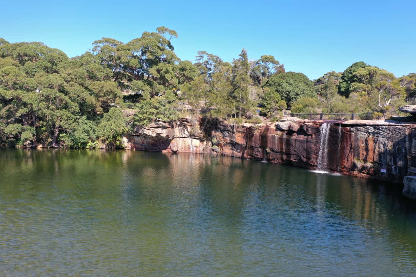
Water
Diospatial’s reality capture and digital engineering solutions are innovating the way the water sector monitors and maintains its large and critical infrastructure assets. Leveraging drone technology, reality capture and remote sensing, our in-house engineering and geospatial experts reduce uncertainty and replace assumptions with facts over large, remote, confined and and difficult to access areas.


Land Management
Diospatial has worked closely with government and private sectors land managers to provide survey and inspection solutions for a range of applications. Leveraging remote sensing technologies such as LiDAR, photogrammetry, and multispectral imaging, our solutions have assisted with the monitoring and management of significant land areas throughout Australia.

Resources
Diospatial’s LiDAR, photogrammetry and digital engineering capabilities offer superior resolution and detail for when project needs exceed those of conventional manned aircraft or in-house capabilities. With extensive experience in mining and industrial environments, our engineers and surveyors are able to effectively and safely deliver on a range of geospatial, reality capture and inspection needs.


Energy
From drone-based aerial patrol of HV feeders, pole top inspections and LiDAR-based vegetation analysis, Diospatial’s reality capture and digital engineering solutions improve safety, reduce personnel on-site, provide access to hazardous and hard to reach locations, and provide a more complete picture of asset condition and context.

Construction
The construction sectors adoption of digital engineering, BIM and reality capture relies on the capture and delivery of reliable data, and that’s we’re Diospatial’s team of engineers and surveyors are making a difference. With extensive experience delivering reality capture, survey and inspection solutions to some of Australia’s most critical infrastructure and construction projects, our team has the know-how needed to navigate the complexities of the modern construction site.
