Survey Solution for Flood Recovery Works
Drone LiDAR, orthophoto, conventional survey and services location of 37no. sites to support design of flood recovery works.
PROJECT OVERVIEW
As part of flood recovery works, the local council required detailed survey deliverables to support engineering design of remediation works. This included terrain modelling, site visualisation and conventional survey including underground services location.
Due to the vast number of site locations, the survey scope for each site was an estimate only. As a result, on-site assessment prior to the commencement of works was required to ensure the survey scope would capture the spatial data required.
Project Scope
Drone LiDAR and Orthophoto
Conventional Survey and Services Location
CAD Ready Outputs
DIOSPATIAL SOLUTION
Diospatial developed a complete spatial survey solution that utilized drone LiDAR, orthophoto and conventional survey.
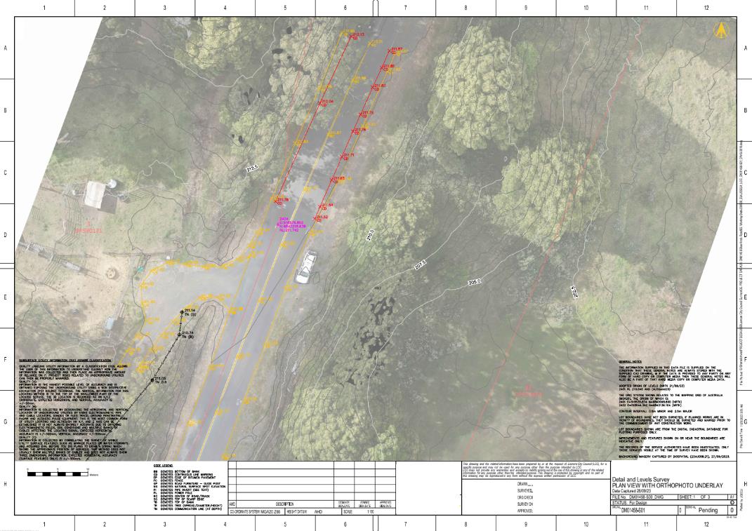
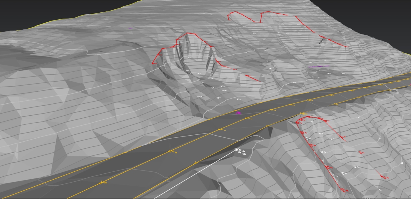
Drone LiDAR was used for its ability to penetrate vegetation and access difficult to reach sites. The LiDAR survey was captured at a high point density and the point cloud was classified for ground and non-ground points. From this, the digital terrain model (DTM) and TIN could be produced, which was then used to extract site features and produce linework. Geospatial data could also be extracted including elevation contours and surface drainage.
High resolution images were captured at the sites that required visualisation to produce a detailed orthophoto. The orthophoto was also used to extract features and provide visualisation of the sites.
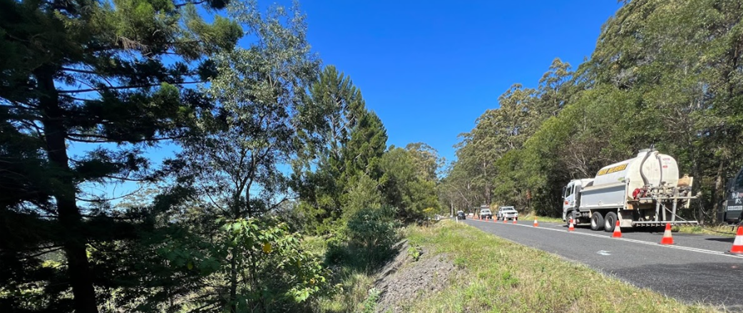
Each site utilised a combination of conventional survey, LiDAR and orthophoto to capture the spatial needs of the site. Drone LiDAR was used where vegetation and site conditions made access difficult.
Where more detail and accuracy was required, and site access was easy, conventional survey was completed to pick up site features, watercourses and drainage, road features and nearby property features.
The conventional survey deliverables were combined with the respective LiDAR and orthophoto data sets and combined in to one complete spatial survey for each site.
Prior to any works commencing, field teams were required to complete a Dial Before You Dig and include underground services location in the survey deliverables
.