LiDAR Survey and Reality Model for Geotechnical Assessment of hillside
High resolution drone LiDAR survey and 3D reality modelling to inform geotechnical assessment of HILLSIDE in National Park
PROJECT OVERVIEW
The Burleigh Heads National Park includes steep colluvial slopes and extensive columnar basalt exposures, resulting in an elevated risk of rock falls. Of particular interest to Queensland Parks and Wildlife Services (QPWS) was understanding the rock fall risk to users of a walking track traversing the base of a large slope. Consulting engineers were engaged to provide geotechnical assessment of hillside slopes, though they lacked a reliable digital terrain model on which to base their rockfall modelling and geotechnical risk assessments.
PROJECT SCOPE
Drone-LiDAR and Photogrammetry
Topographic Survey
3D Reality Modelling
DIOSPATIAL SOLUTION
A drone-based methodology, including LiDAR and
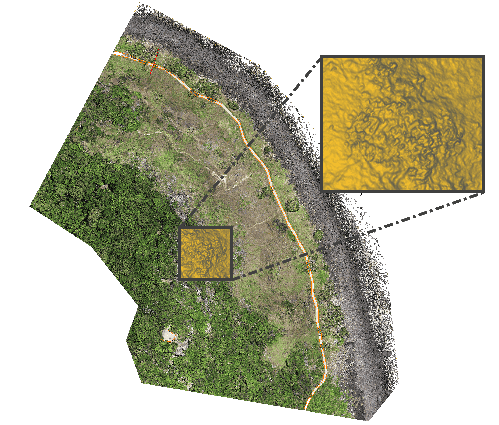
photogrammetry was developed. LiDAR was used to provide accurate and reliable topographic survey, even in areas of dense vegetation. Photogrammetry modelling was used to provide rich visualisation of the site. This enabled remote inspection and assessment of potential hazards and rockfall sources.
Field works were completed in 4 hours and data was then processed offsite to develop the required deliverables.
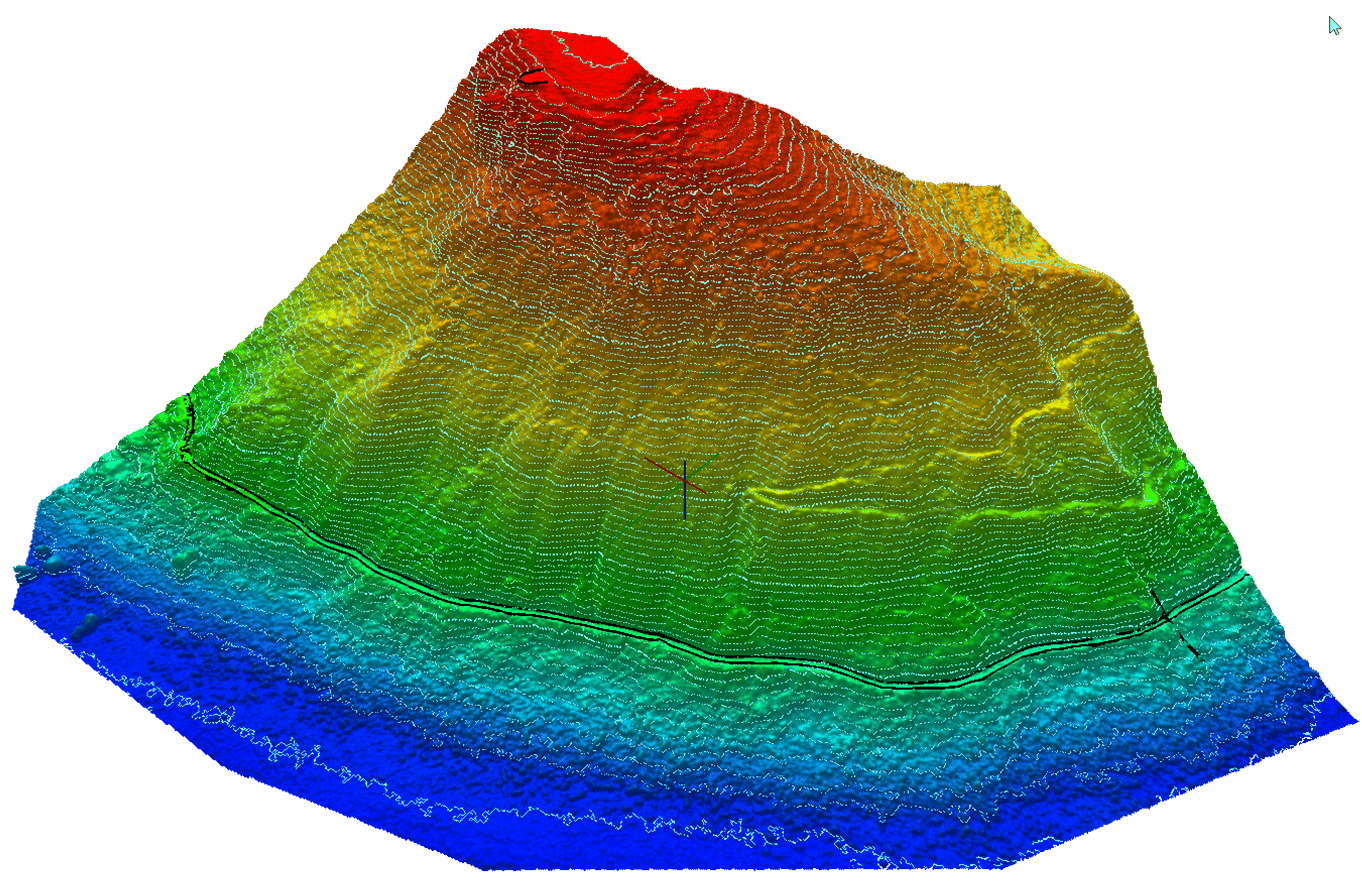
Drone-LiDAR provided the basis for a developing a reliable DTM, even in areas of dense vegetation cover.
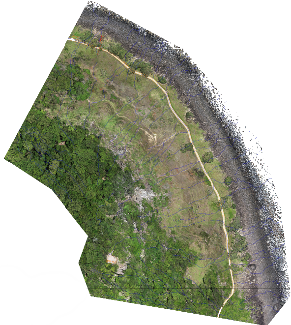
The LiDAR derived DTM provided geotechnical engineers with a reliable terrain model for rock fall modelling. Elevation contours and watershed analysis was also derived from the LiDAR derived DTM. The 3D reality model provided a rich visualisation for close visual inspection. This allowed for identification of potential rockfall sources.