topographic
LiDAR for Topographic Surveys
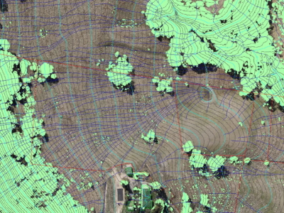
Drone LiDAR Survey for terrain modelling and extracted topographic data for surveying…
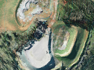
LiDAR Survey of Historic Mining Area
Drone-LiDAR Survey to develop a High resolution terrain model of historical mining…
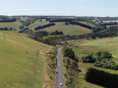
LiDAR Survey of Roadside Cuts and Slopes for Stabilisation Designs
Drone-LiDAR derived topographic survey and photogrammetry modelling for slope stabilisation designs PROJECT…
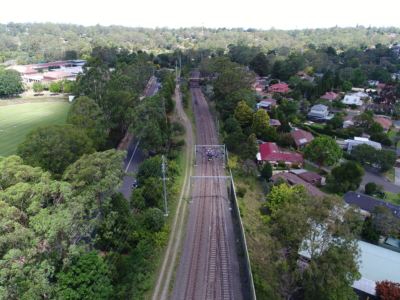
Drone survey of HV Feeders for Vegetation Defect Mapping
Vegetation defect mapping along 4km of HV Feeders within surburban rail corridoR…
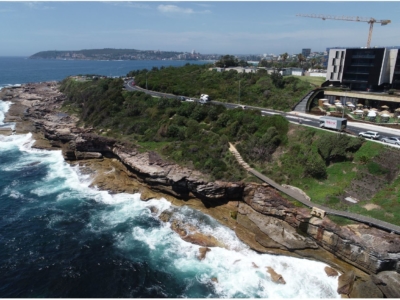
Photogrammetry derived Reality Capture for Boardwalk Design and Geotechnical Assessment
High resolution drone LiDAR survey and Photogrammetry modelling for design of elevated…
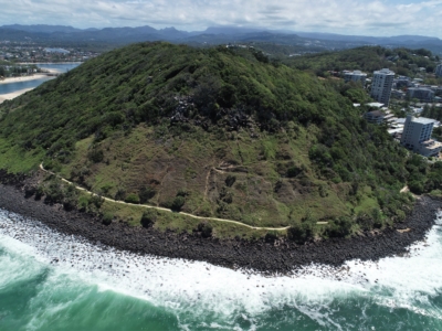
LiDAR Survey and Reality Model for Geotechnical Assessment of hillside
High resolution drone LiDAR survey and 3D reality modelling to inform geotechnical…
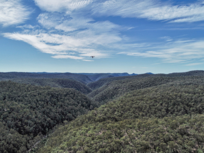
Geo-Hazard Mapping and Slope Risk Assessment
High resolution Drone-LiDAR survey for slope risk assessment of remote and densely…
LiDAR Survey for Geotechnical Assessment
High resolution Drone LiDAR survey of Illawarra Escarpment for geotechnical assessment and…
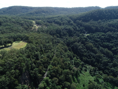
Rail Corridor Drainage Mapping
Drone LiDAR survey through dense vegetation to identify and Complete surface drainage…
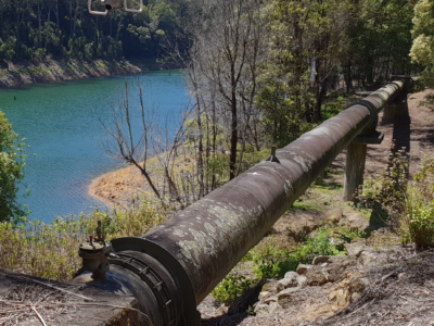
Inspection of water supply pipeline
High detail Reality Capture over 5km of water supply pipeline using drone…

