Construction
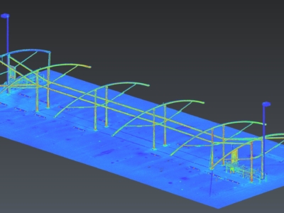
Scan-to-CAD for Fabrication Design
Terrestrial laser scanning As-Built survey of existing shade structure for detailed design…
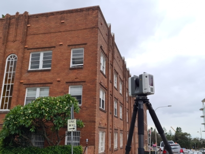
Survey of Residential Building
As-Built SURVEY AND Scan-to-Revit workflow OF RESIDENTIAL APARTMENT FOR DESIGN of remediation…
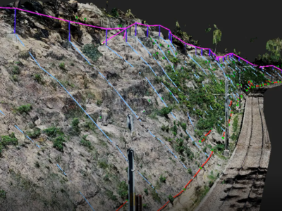
Completing the project lifecycle with As-Built surveys
Returning to sites in Victoria for as-built surveys of completed slope stabilisation…
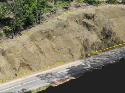
Work As Executed Survey Using Photogrammetry
A Scan-to-CAD workflow done a little bit differently – using Drone Photogrammetry…
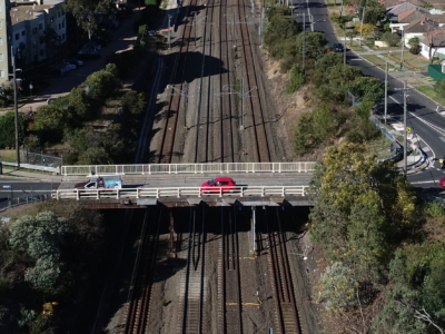
Laser Scanning of Bridge Road for Design
Laser Scanning survey and photogrammetry reality model of bridge and surrounding areas…
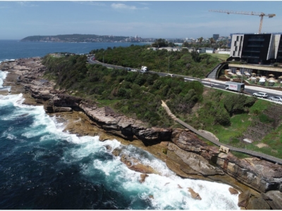
Photogrammetry derived Reality Capture for Boardwalk Design and Geotechnical Assessment
High resolution drone LiDAR survey and Photogrammetry modelling for design of elevated…
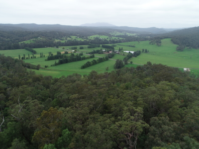
Drone LiDAR survey for DA Survey of Rural Land
Drone based contour survey and boundary stakeout of 30ha rural property for…
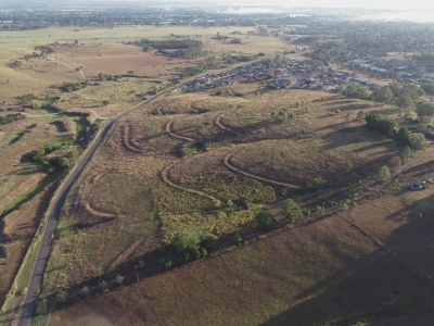
DA Survey of Semi-Rural Property using LiDAR
Drone based contour survey of semi-rural property for subdivision planning and DA…

