Reality Capture
Reality Capture is the process of creating spatially accurate digital representations of the real world environment. Diospatial leverages LiDAR, photogrammetry and terrestrial laser scanning technologies to provide the most effective reality capture solutions for digital engineering.
Depending on the nature of the project and intended use of the data, certain technologies may be more appropriate than others. Diospatial’s outcome-driven approach means that we first seek to understand your project specific objectives and use case, so that we can develop the most effective and appropriate solution.
UTILISING LIDAR, PHOTOGRAMMETRY AND TERRESTRIAL LASER SCANNING TO DEVELOP THE MOST EFFECTIVE REALITY CAPTURE SOLUTIONS FOR DIGITAL ENGINEERING
The outputs can be exploited in any number of geospatial and CAD applications, and most commonly form the basis of a scan-to-CAD or scan-to-BIM workflow.

Our REALITY CAPTURE TECHNOLOGIES
LIDAR
- rapid capture of large areas
- suited to vegetated sites
- capture of slender objects and reflective surfaces
- ideal for topographic survey
PHOTOGRAMMETRY
- photorealistic visualisation
- scalable precision & accuracy
- suited to non-vegetated sites
- ideal for modelling large structures
- Requires ambient lighting
TERRESTRIAL LASER SCANNING
- high precision and accuracy
- lightweight and portable for confined spaces
- suited to indoor and GPS-denied environments
- ideal for complex structures


Past Projects
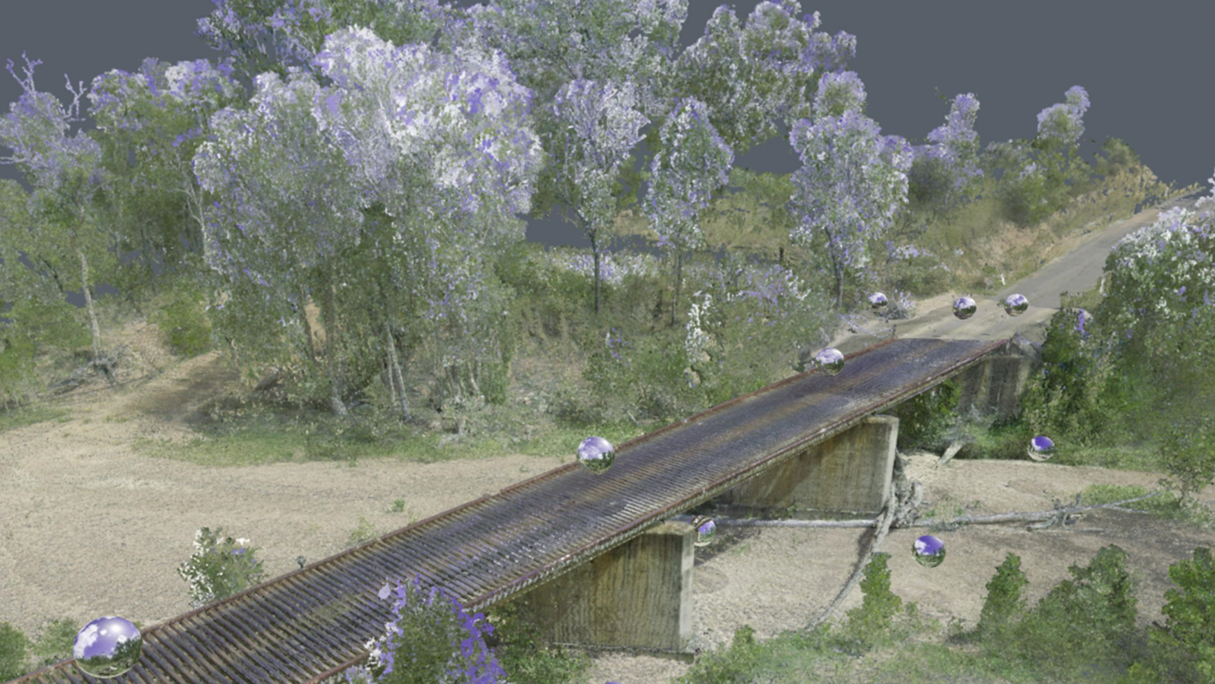
3D Modelling of Rail Bridge
terrestrial laser scanning and Photogrammetry 3D modelling of RAIL bridge for engineering…
Digital Twin of Road Corridor
Aerial LiDAR and photogrammetry survey of ~51km road corridor and adjacent slopes…
Aerial Survey of Council Lookout for Geotechnic…
Drone-LiDAR survey and 3D photogrammetry modelling of slopes and surrounding area of…
Complete Spatial Solution for Geotechnical Asse…
LiDAR, photogrammetry and Laser Scanning of road corridor and landslip for geotechnical…