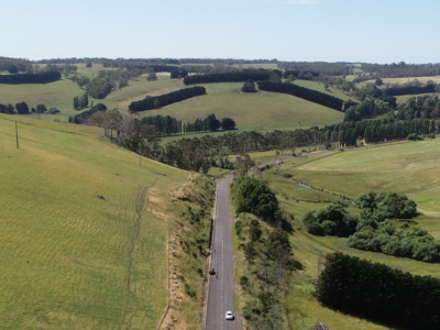
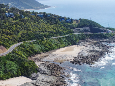
Road
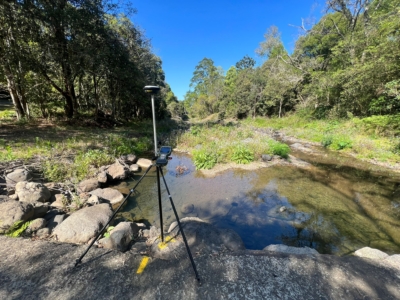
Survey Solution for Flood Recovery Works
Drone LiDAR, orthophoto, conventional survey and services location of 37no. sites to…
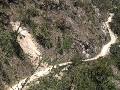
Digital Twin of Road Corridor
Aerial LiDAR and photogrammetry survey of ~51km road corridor and adjacent slopes…
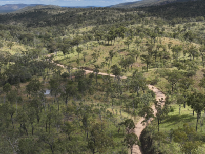
Spatial Survey for Windfarm Project
Drone LiDAR, orthophoto, terrestrial laser scanning and survey of project area and…
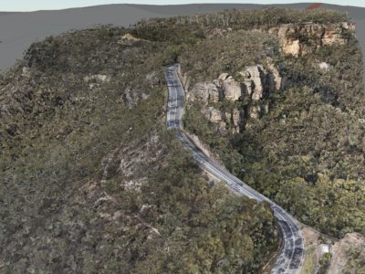
Geospatial Survey of Road Corridor
Drone LiDAR, photogrammetry modelling, terrestrial laser scanning and detail survey of road…
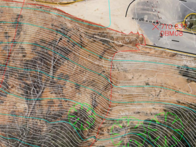
Complete Spatial Solution for Geotechnical Assessment
LiDAR, photogrammetry and Laser Scanning of road corridor and landslip for geotechnical…
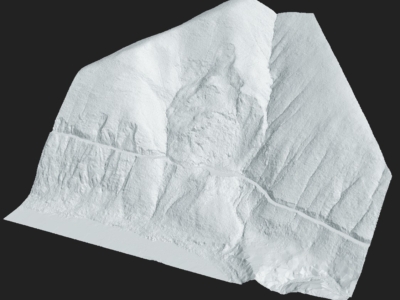
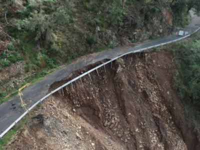
Drone Survey for Landslip Assessment
Drone LiDAR and photogrammetry survey of landslip area to identify extent of…
Completing the project lifecycle with As-Built surveys
Returning to sites in Victoria for as-built surveys of completed slope stabilisation…
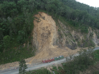
Multiple Landslide surveys
Combining drone lidar, photogrammetry and terrestrial laser scanning of multiple landslip sites…
Geospatial Survey of Roadway Landslide
Using Drone Lidar and photogrammetry to inform geotechnical Risk assessment and design…
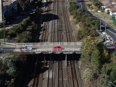
Laser Scanning of Bridge Road for Design
Laser Scanning survey and photogrammetry reality model of bridge and surrounding areas…
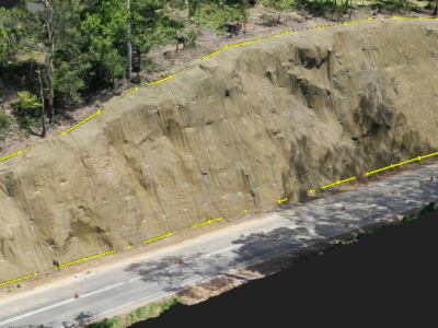
LiDAR Survey of Roadside Cuts and Slopes for Stabilisation Designs
Drone-LiDAR derived topographic survey and photogrammetry modelling for slope stabilisation designs PROJECT…
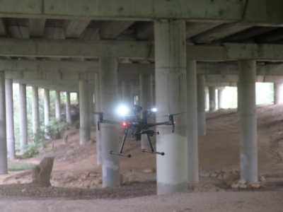
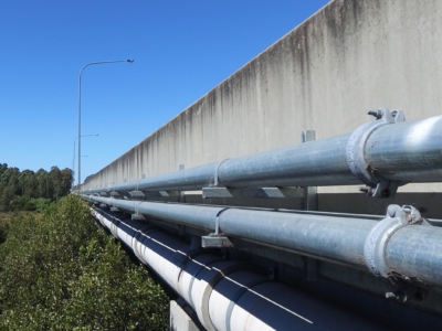
Close Visual Imaging for Bridge Inspection of Motorway Underdeck
Drone-based Close visual inspection of underdeck areas for Level 2 Inspection of…
Reality Capture for Motorway Bridge Inspections
Close visual inspection and 3D reality model of 40no. spans of Dual…
Reality Capture using Photogrammetry for Slope Stabilisation works
Reality capture and Digital survey for slope stabilisation Works As Executed drawings…
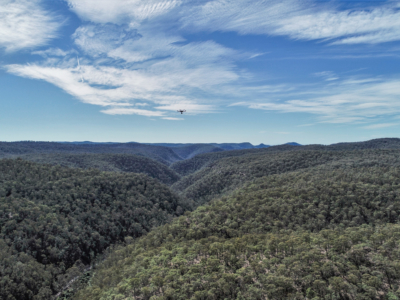
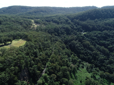
Geo-Hazard Mapping and Slope Risk Assessment
High resolution Drone-LiDAR survey for slope risk assessment of remote and densely…
LiDAR Survey for Geotechnical Assessment
High resolution Drone LiDAR survey of Illawarra Escarpment for geotechnical assessment and…