geotechnical assessment
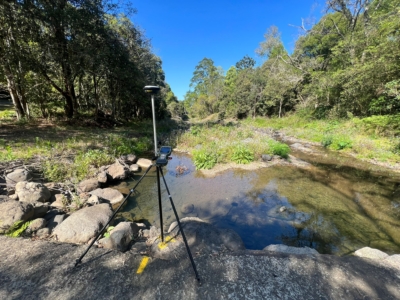
Survey Solution for Flood Recovery Works
Drone LiDAR, orthophoto, conventional survey and services location of 37no. sites to…
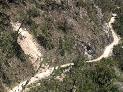
Digital Twin of Road Corridor
Aerial LiDAR and photogrammetry survey of ~51km road corridor and adjacent slopes…
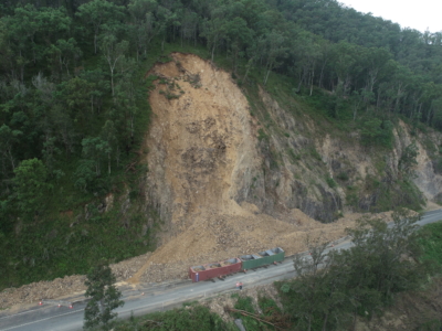
Multiple Landslide surveys
Combining drone lidar, photogrammetry and terrestrial laser scanning of multiple landslip sites…
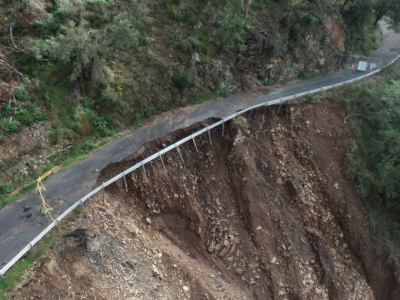
Geospatial Survey of Roadway Landslide
Using Drone Lidar and photogrammetry to inform geotechnical Risk assessment and design…
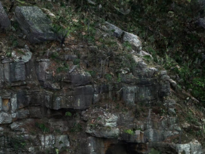
De-vegetated Photogrammetry Model for Geotechnical Inspection
It is critically important for geotechnical engineers to complete robust inspections and…
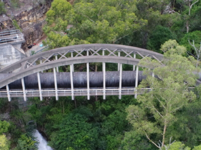
Bridge Inspection and LiDAR derived Geotechnical Assessment of Abutments
Close visual Bridge inspection and LiDAR survey for geotechnical assessment of abutments…