Water Treatment Plant Reservoir Survey and Modelling
Drone-Lidar and Photogrammetry survey of water treatment plant reservoir for condition assessment and engineering design.
PROJECT OVERVIEW
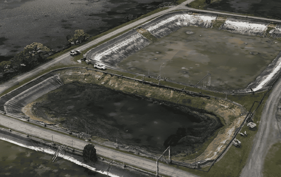
Diospatial was engaged to provide a geospatial survey and digital twin for a number of reservoirs within an industrial processing facilities water treatment plant. A number of the ponds required capacity upgrades and liner remediation, for which a reliable terrain model was required as well as a high detail visualisation of site conditions.
Project Scope
Drone LiDAR and Photogrammetry
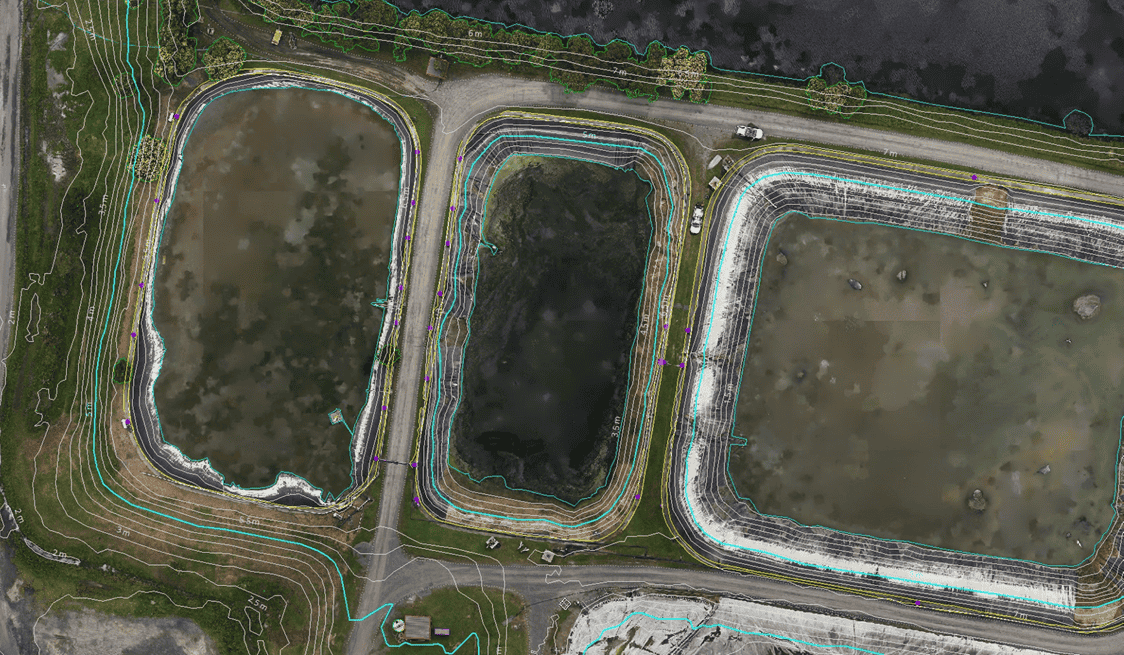
Feature Extraction
Reality Model
DIOSPATIAL SOLUTION
Diospatial developed a drone-based solution to capture high resolution LiDAR for survey outputs and photogrammetry model for visualization of site conditions.
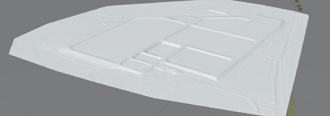
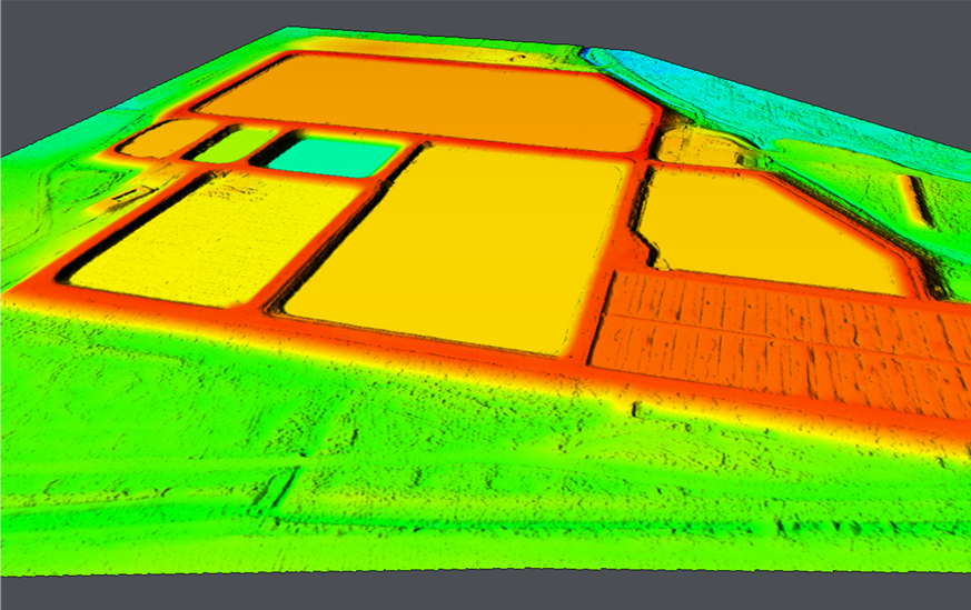
Drone-LiDAR was used to penetrate vegetation and capture surface terrain beneath. The resulting point cloud was then classified to produce digital terrain model, elevation contours, feature extraction and orthophoto.
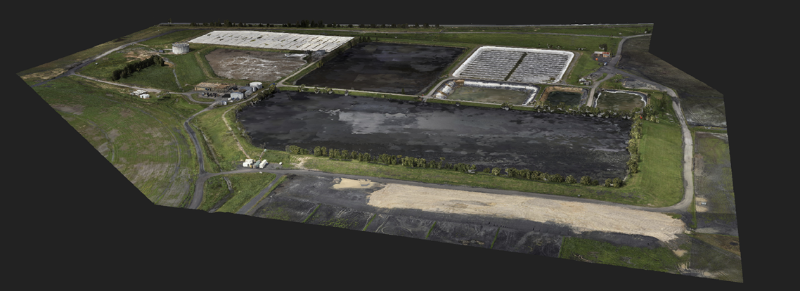
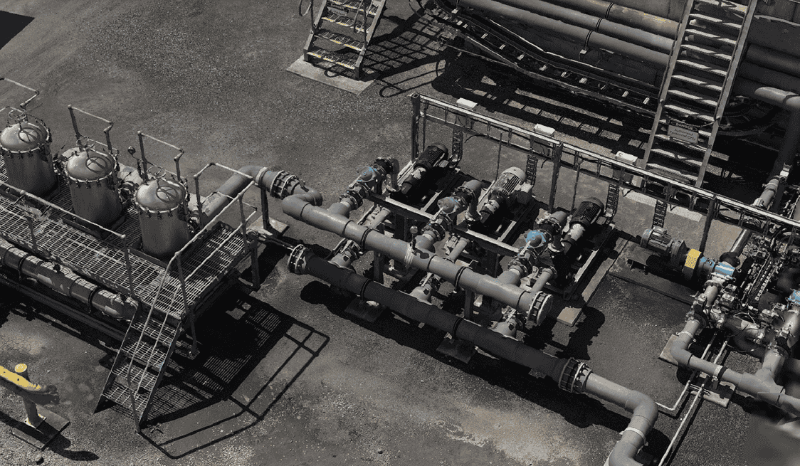
High resolution imagery was captured and then processed using photogrammetry software to produce a high detail 3D reality model which could be used to support condition assessment and optioneering of embankment design and construction.
Drone-LiDAR provided reliable terrain modelling, even in areas of vegetation cover. Photogrammetry provided a rich and spatially accurate visualisation of site conditions to support optioneering and communications.
High resolution imagery was captured and then processed using photogrammetry software to produce a high detail 3D reality model which could be used to support condition assessment and optioneering of embankment design and construction.
Geospatial outputs and 3D Models were provided to the client in their native file formats for use in 3rd party applications as well as published to a web-based Digital Twin, Pointerra.
The web Digital Twin allowed project stakeholders to visualize and collaborate using the 3D model and without the need for specialist software or powerful computing hardware.