Geospatial Survey to Support Transmission Line Design
Topographic and detail survey over proposed electricity transmission alignment for engineering design.
PROJECT OVERVIEW
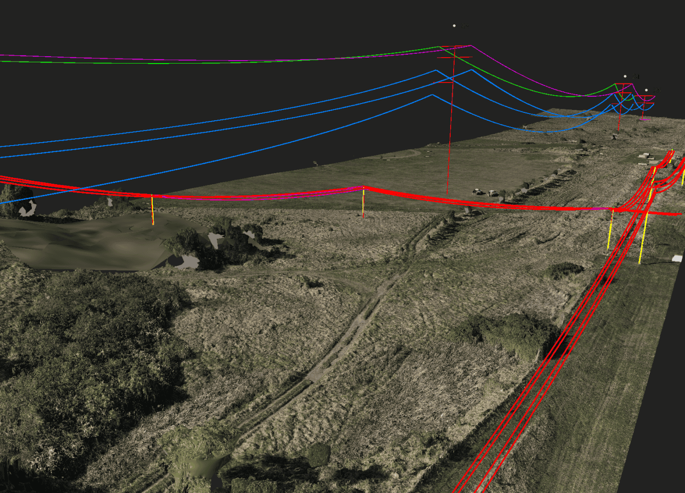
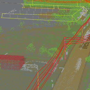
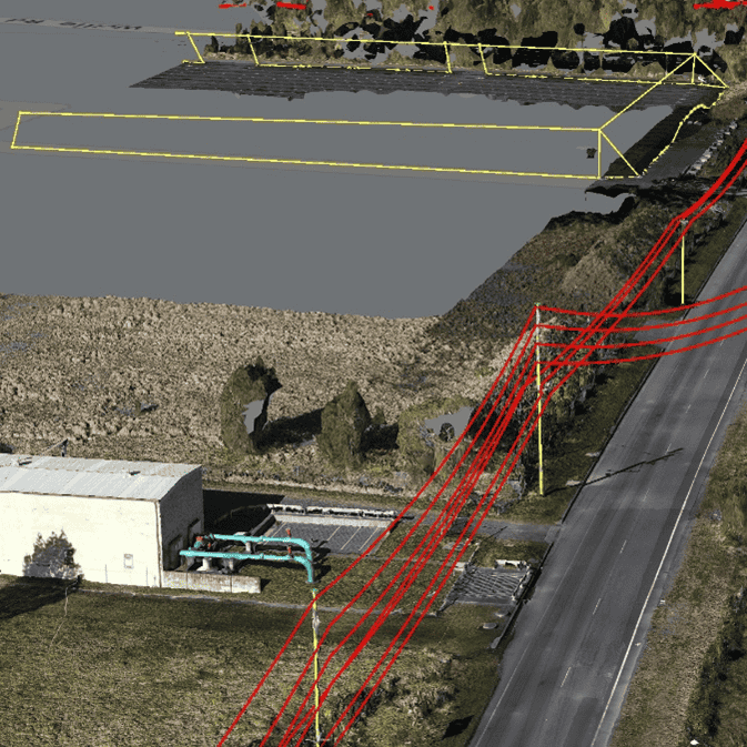
A new electricity transmission line was to be constructed and the proposed alignment required engineering assessment. The proposed alignment was to cross existing transmission lines, roadways and through residential areas. A geospatial survey to support transmission line design was required to assess the feasibility of the design, including terrain modelling and clash detection.
DIOSPATIAL SOLUTION
Diospatial combined drone LiDAR and photogrammetry to provide a complete geospatial data solution to assist and inform the design phase of a proposed electricity transmission line.
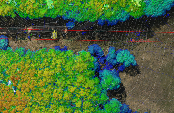
Further analysis of the geospatial data was completed including canopy height modelling, clash detection and feature extraction.
Drone LiDAR was used to develop a digital terrain model (DTM), digital surface model (DSM), and canopy height model (CHM). Photogrammetry was used to develop a reality model and orthophoto for improved visualisation and to support feature extraction.
LiDAR, photogrammetry and extracted features for published to Pointerra for visualisation and to support design. Following design, the proposed transmission was added to the digital twin to provide an interactive 3D model for stakeholder engagement and collaboration.
Project Scope
Aerial Lidar and Photogrammetry
3D reality model
Spatial Analysis