Digital Twin of Road Corridor
Aerial LiDAR and photogrammetry survey of ~51km road corridor and adjacent slopes for geotechnical assessment and design.
PROJECT OVERVIEW
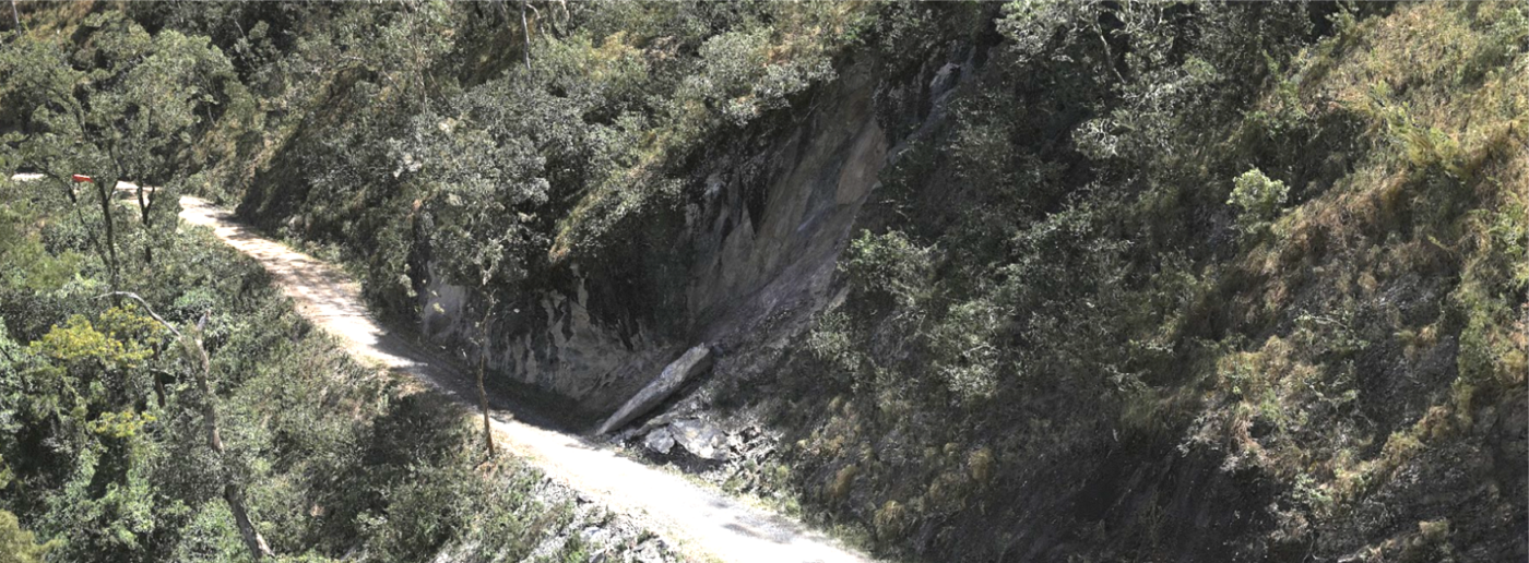
After extensive rainfall, multiple landslips in varying sizes had occurred across several locations along a 51km road corridor. Consulting engineers were engaged to complete a geotechnical assessment and design remediation works. In order to do this, they required accurate terrain modelling and detailed visualisation of the sites for inspection and design purposes.
The local council asset managers decided to capture the spatial and visual data of the entire 51km of road corridor instead of just the individual landslip sites. This delivered economies of scale while creating a digital asset of their entire road corridor that could be used for other purposes.
Project Scope
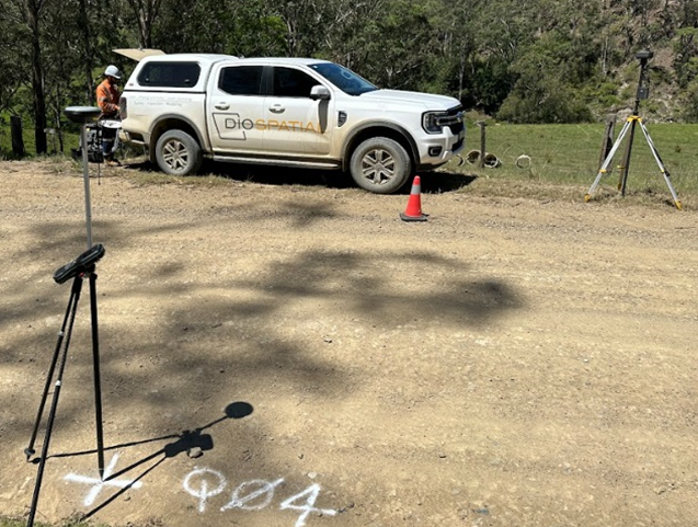
Drone LiDAR & Photogrammetry
Terrain Modelling
Digital Twin
DIOSPATIAL SOLUTION
Diospatial developed a drone-based reality capture solution that utilized LiDAR and photogrammetry to capture and generate a scale accurate, high detail digital twin.
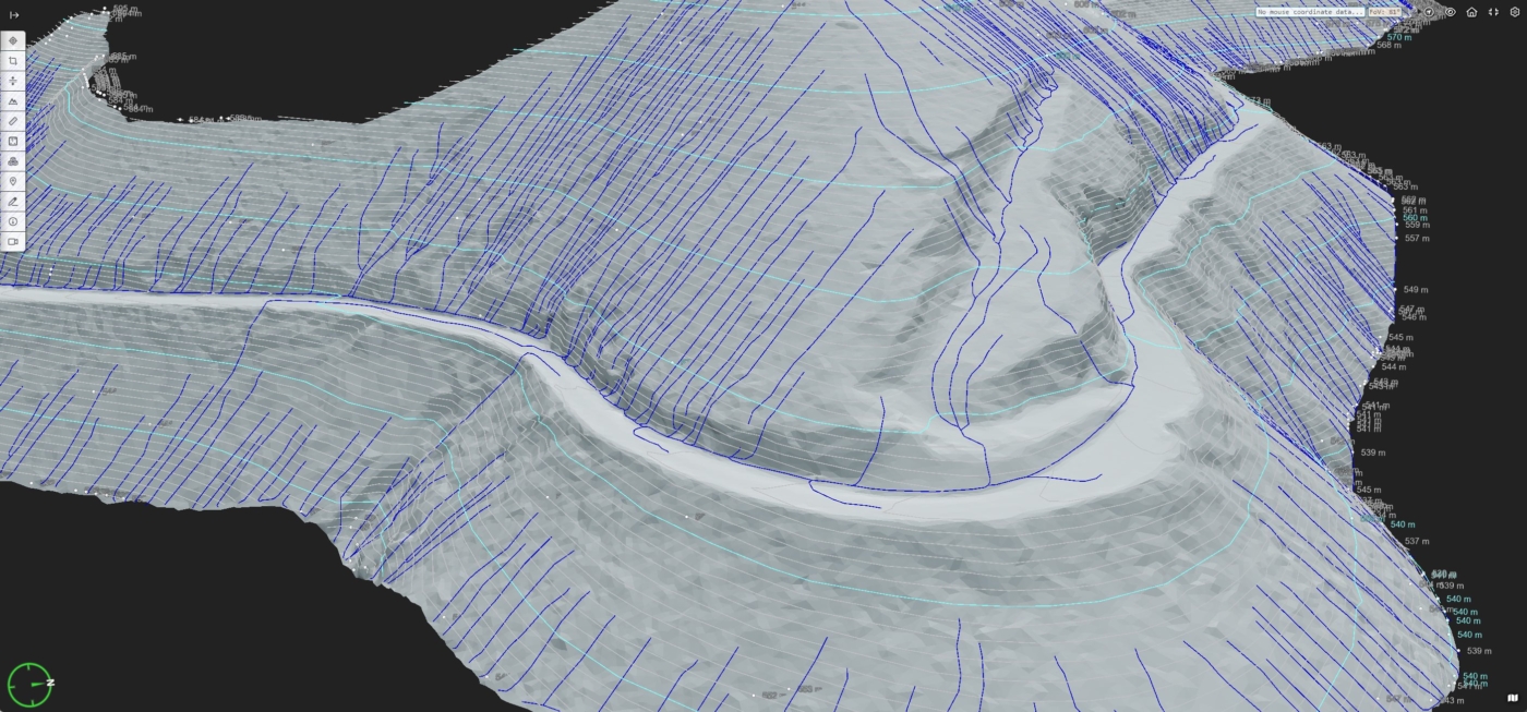
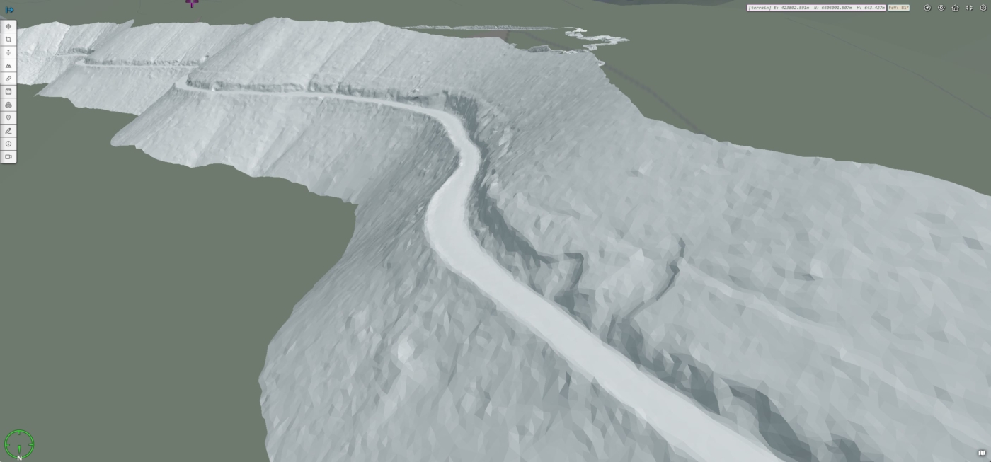
Drone LiDAR was used for its ability to penetrate vegetation and to efficiently cover a large area. The LiDAR survey was captured at a high point density and the point cloud was classified for ground and non-ground points. From this, the digital terrain model (DTM) and TIN could be produced, which was then used to derive elevation contours, surface drainage, and extract key features.
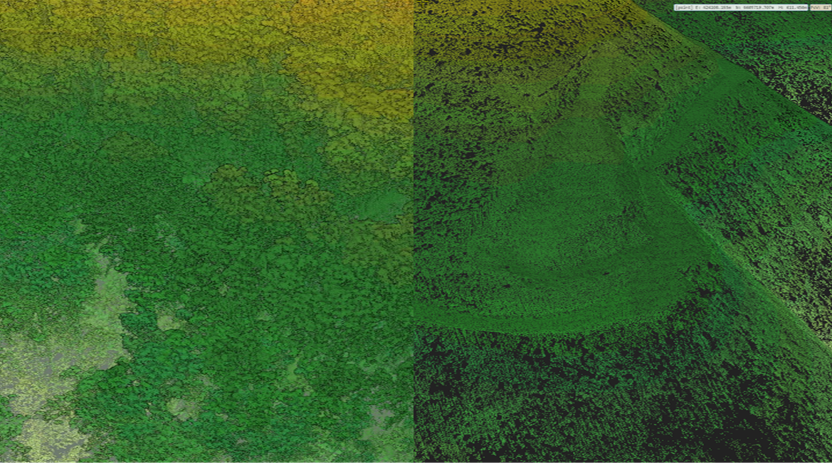
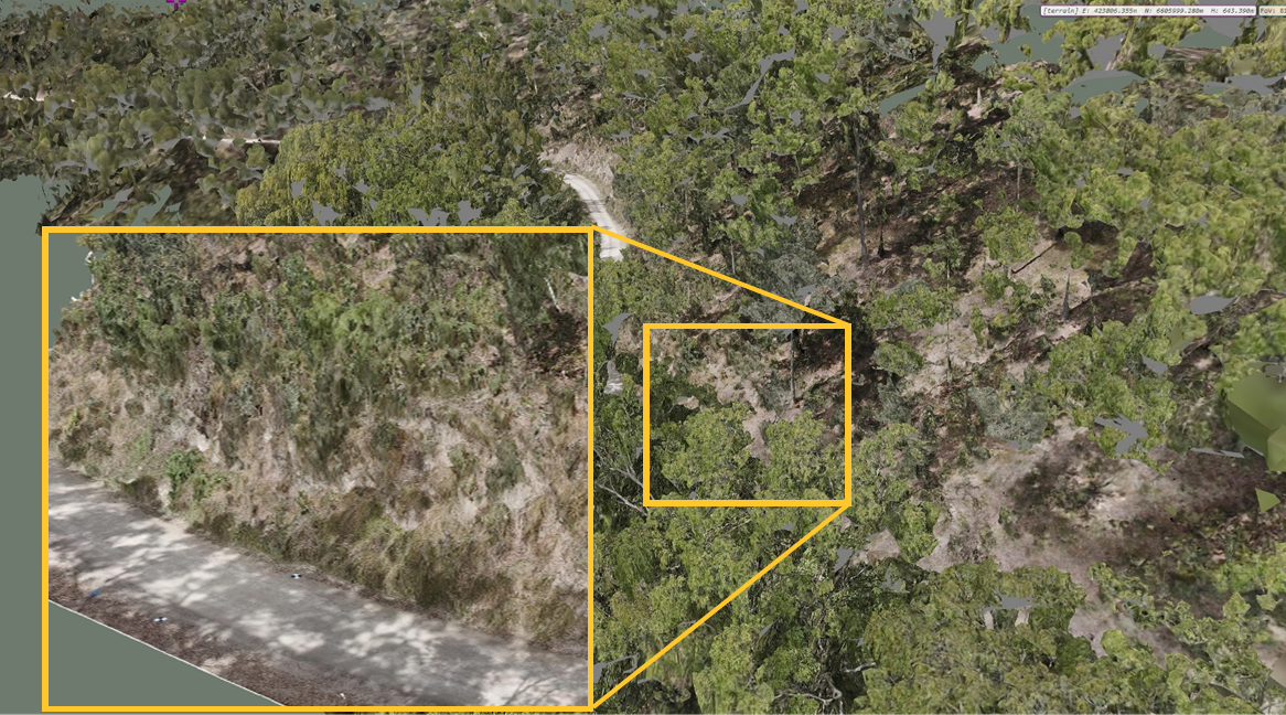
High resolution images were captured of the specific landslip sites as well as general images of the entire 51km of road. The high resolution images were processed in photogrammetry software to produce 3D digital twins of the landslips. The general images of the entire corridor were compiled in to an orthophoto for visualisation. The imagery captured provided rich visualisation to a level of detail suitable for the purposes required, including inspection and remote planning of remediation works.
Aerial LiDAR and imagery was captured of the entire ~51km of road corridor to support geotechnical assessment and design.
The final geospatial deliverables were shared in their specialist software formats, as well as compiled in to a web-based GIS platform, Pointerra, which allowed project stakeholders to easily visualise, share and collaborate as they completed the geotechnical assessment and design solution.