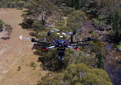
Land Management
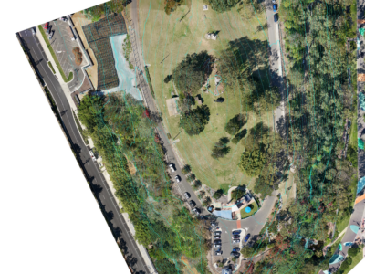
Aerial Survey of Council Lookout for Geotechnical Assessment
Drone-LiDAR survey and 3D photogrammetry modelling of slopes and surrounding area of…
Complete Spatial Solution for Geotechnical Assessment
LiDAR, photogrammetry and Laser Scanning of road corridor and landslip for geotechnical…
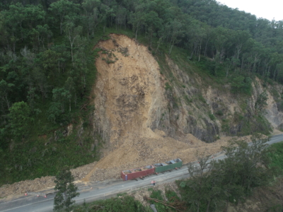
Geospatial Survey for Geotechnical Assessment
Drone LiDAR, photogrammetry modelling and geospatial analysis of rockfall and landslide to…
LiDAR for Topographic Surveys
Drone LiDAR Survey for terrain modelling and extracted topographic data for surveying…
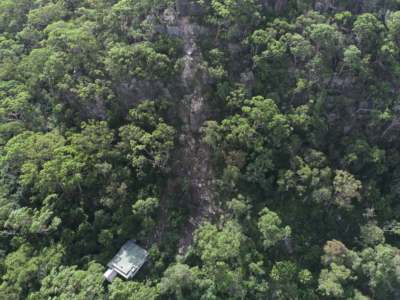
Survey of Multiple Landslides
Combining drone lidar, photogrammetry and terrestrial laser scanning of multiple landslip sites…
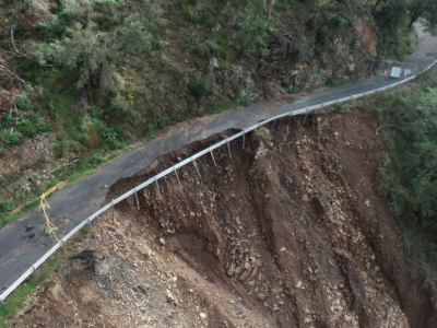
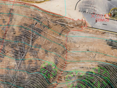
Geospatial Survey of Roadway Landslide
Using Drone Lidar and photogrammetry to inform geotechnical Risk assessment and design…
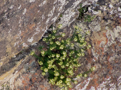
Environmental Spatial Solution to Survey Rare Plant Species
Aerial survey of the leionema lachnaeoides rare plant species in the blue…
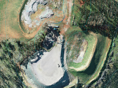
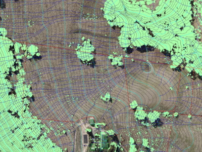
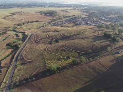
LiDAR Survey of Historic Mining Area
Drone-LiDAR Survey to develop a High resolution terrain model of historical mining…
Drone-LiDAR and Photogrammetry Modelling for Engineering Design
Drone-LiDAR Topographic Survey and High Detail Photogrammetry modelling of Thredbo Valley Track…
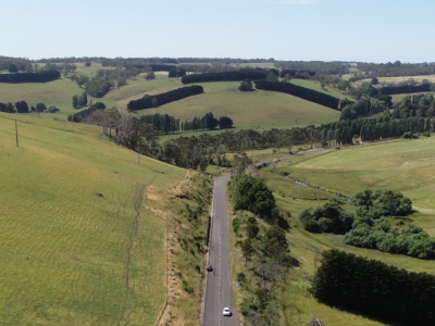
LiDAR Survey of Roadside Cuts and Slopes for Stabilisation Designs
Drone-LiDAR derived topographic survey and photogrammetry modelling for slope stabilisation designs PROJECT…
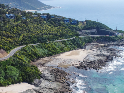
Reality Capture using Photogrammetry for Slope Stabilisation works
Reality capture and Digital survey for slope stabilisation Works As Executed drawings…
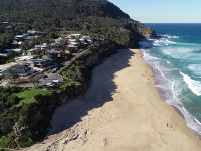
Photogrammetry derived Reality Capture for Boardwalk Design and Geotechnical Assessment
High resolution drone LiDAR survey and Photogrammetry modelling for design of elevated…
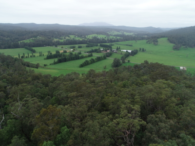
Drone LiDAR survey for DA Survey of Rural Land
Drone based contour survey and boundary stakeout of 30ha rural property for…
LiDAR Survey and Reality Model for Geotechnical Assessment of hillside
High resolution drone LiDAR survey and 3D reality modelling to inform geotechnical…
DA Survey of Semi-Rural Property using LiDAR
Drone based contour survey of semi-rural property for subdivision planning and DA…
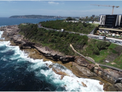
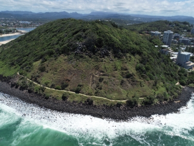
Coastal Erosion
A reasearch and development project utilising drone LiDAR and Photogrammetry for coastal…