Resources
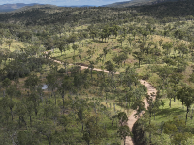
Spatial Survey for Windfarm Project
Drone LiDAR, orthophoto, terrestrial laser scanning and survey of project area and…
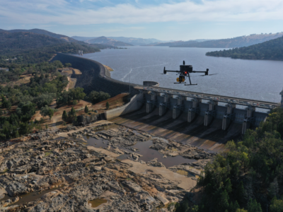
Change Detection of Dam Spillway
Drone LiDAR and photogrammetry survey of dam spillway after rain events to…
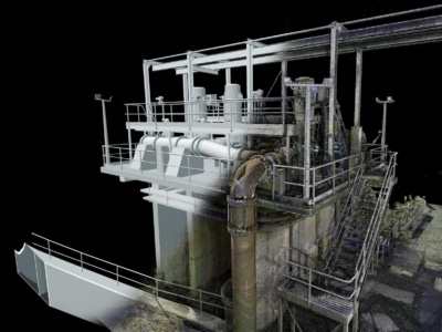
3D Survey & Digital twin of Dam & Water Infrastructure
Geospatial Survey of Dam & Infrastructure using Drone LiDAR, photogrammetry, laser scanning…
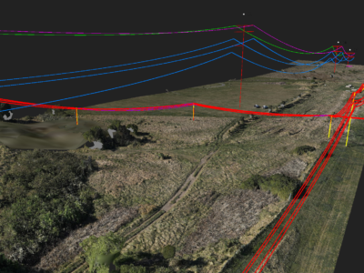
Geospatial Survey to Support Transmission Line Design
Topographic and detail survey over proposed electricity transmission alignment for engineering design….
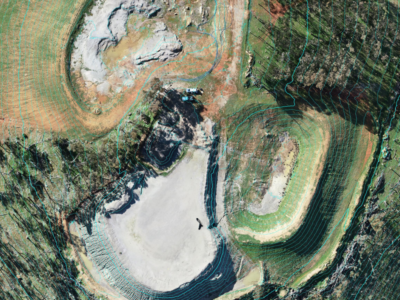
LiDAR Survey of Historic Mining Area
Drone-LiDAR Survey to develop a High resolution terrain model of historical mining…