Rail

3D Modelling of Rail Bridge
Photogrammetry modelling and terrestrial laser scanning of RAIL bridge for engineering design…
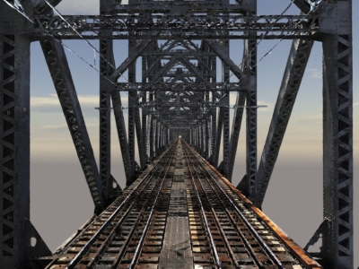
High Detail Digital Twin of Rail Bridge
Reality modelling of rail bridge to assist with the planning and design…
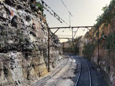
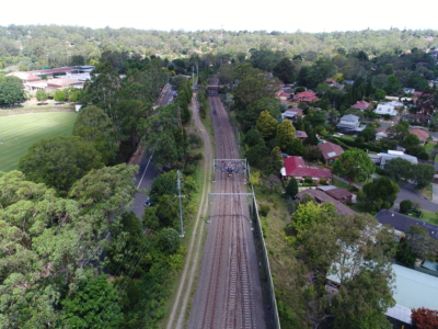
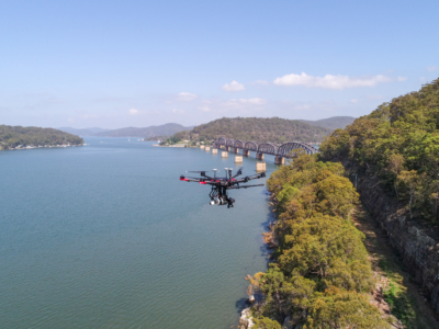
As-Built Survey of Rail Corridor for Engineering Design
High resolution drone LiDAR, photogrammetry and as-built survey of rail corridor for…
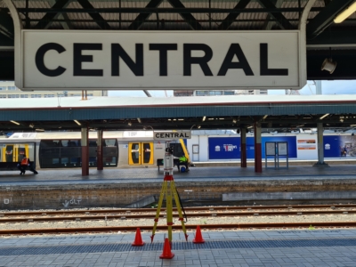
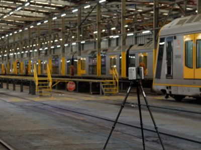
Sydney Central Yard Laser Scanning
Virtual feature and measurement extraction to assist with OHL tension analysis, reporting and…
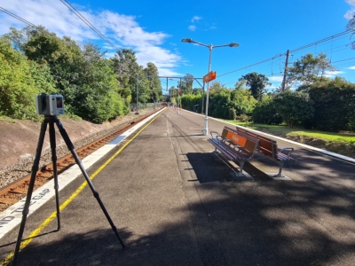
As-Built Survey of Train Station
Terrestrial laser scanning survey of train station to produce as-built survey for…
Work As Executed Survey Using Photogrammetry
A Scan-to-CAD workflow done a little bit differently – using Drone Photogrammetry…
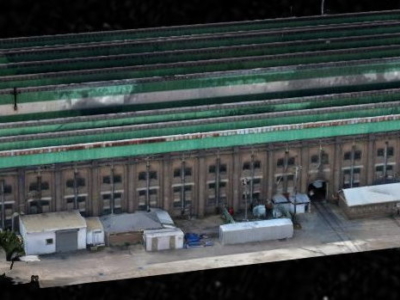
3D Reality Model of Building for Remote Inspection
High resolution drone-based imaging and photogrammetry derived 3D reality model of warehouse…
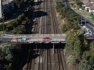
Laser Scanning of Bridge Road for Design
Laser Scanning survey and photogrammetry reality model of bridge and surrounding areas…
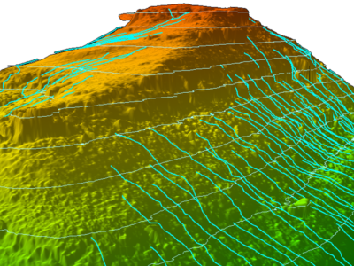
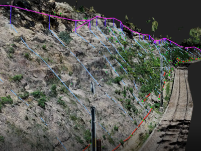
Slope Drainage Monitoring and Watershed Analysis
LiDAR and geospatial analysis of rail corridor slopes for inspection and monitoring…
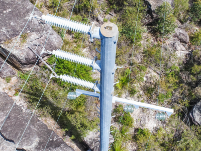
OHL Inspection and Monitoring using Laser Scanning
Laser Scanning and drone-inspection for OHL conformance and clearance monitoring PROJECT OVERVIEW…
Aerial Scoping and Inspection of HV Feeders
Drone based aerial scoping of HV Feeders throughout low access-high risk areas…
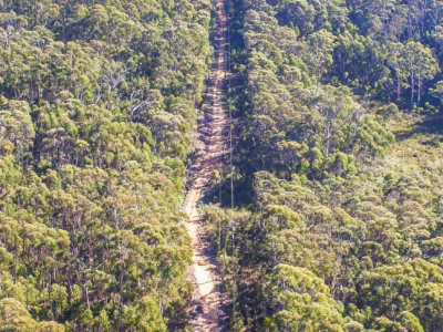
Drone LiDAR survey of HV Feeder for Vegetation Reporting
Drone LiDAR aerial scoping and vegetation reporting of newly constructed HV Feeders…
Drone survey of HV Feeders for Vegetation Defect Mapping
Vegetation defect mapping along 4km of HV Feeders within surburban rail corridoR…
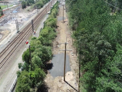
Rail Corridor Drainage Mapping
Drone LiDAR survey through dense vegetation to identify and map surface drainage…
HV Feeders Inspection
Aerial scoping and inspection of HV Feeders throughout low access-high risk areas…