Sydney Central Yard Laser Scanning
Virtual feature and measurement extraction to assist with OHL tension analysis, reporting and detail design.
PROJECT OVERVIEW
Diospatial was commissioned by Transport for NSW (TfNSW) to provide a terrestrial laser scanning survey of Sydney Central Yard for the purposes of feature and measurement extraction.
The survey was required to assist with wire tension analysis and reporting, and detail design planning of platform and track modification works. As a result, the survey data deliverables required high accuracy and detail.
Project Scope
Terrestrial laser scanning
Feature Extraction
As-Built Survey
DIOSPATIAL SOLUTION
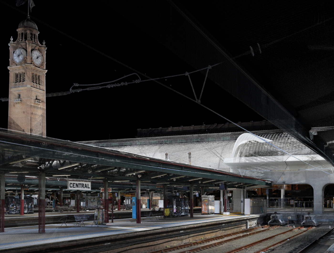
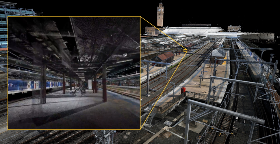
Due to the requirement for survey grade deliverables, Diospatial developed a tripod mounted terrestrial laser scanning solution to capture Sydney Central Yard and platforms.
A VZ-400i Reigl laser scanner was used to capture a high resolution and high accuracy point cloud. At each scan location, high definition imagery was also captured for point cloud colourisation and virtual tour creation. Atmospheric conditions were also recorded at each scan location and included in the height and stagger data deliverables.
High definition imagery was captured simultaneously to the laser scanning to produce rich visualisation & a virtual tour of the site.
The survey data was cross-checked against a network of ground control points to ensure the resulting point cloud was scale accurate and geo-located.
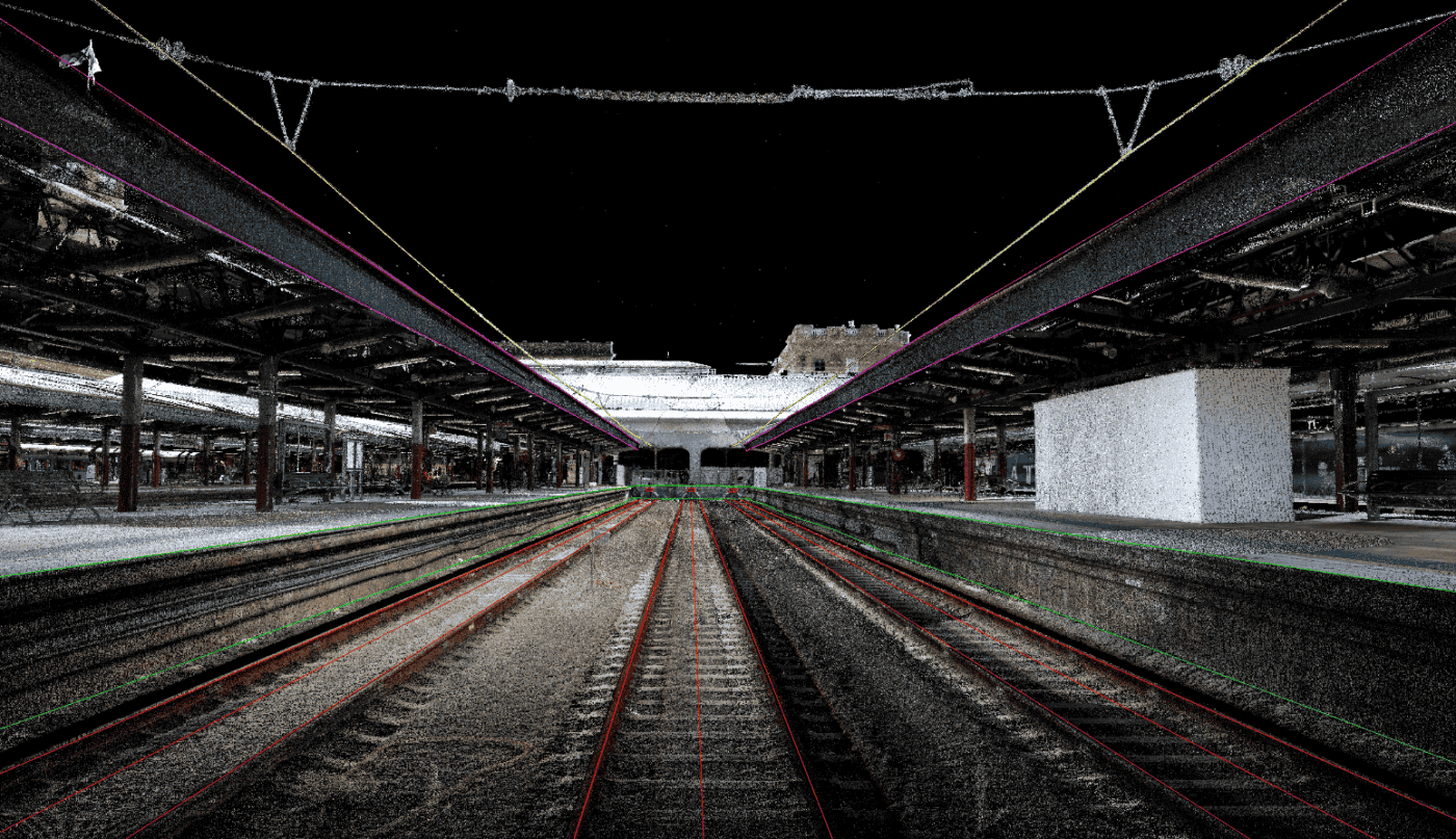
A single colourised point cloud was produced at 10mm, 5mm and 2mm point spacings for use in third party post-processing/analysis software, including Bentley Systems. Feature extraction was then completed on the virtual model. Diospatial also shared the colourised point cloud via a 3D web portal for easy visualisation and collaboration across project stakeholders.
GIS software was used to extract height and stagger measurements which were tabulated and delivered to the client for further analysis.
All works were completed outside of the danger zone while trains were running with no disruption to network operations.