• Sectors
    Toggle Dropdown
    • Rail
    • Road
    • Water
    • Land Management
    • Resources
    • Energy
    • Construction
  • Services
    Toggle Dropdown
    • Reality Capture
    • Drone LiDAR Survey & Photogrammetry
    • Survey & Laser Scanning
    • Inspection
    • Geospatial
    • CAD & Revit
  • Technologies
    Toggle Dropdown
    • LiDAR
    • Photogrammetry
    • Laser Scanning
    • Imaging
  • About
    Toggle Dropdown
    • The Diospatial Difference
    • Our Story
  • News & Updates
    Toggle Dropdown
    • Past Projects
    • Blog
  • Contact Us
    Toggle Dropdown
    • Careers
Diodrone
  • Sectors
    Toggle Dropdown
    • Rail
    • Road
    • Water
    • Land Management
    • Resources
    • Energy
    • Construction
  • Services
    Toggle Dropdown
    • Reality Capture
    • Drone LiDAR Survey & Photogrammetry
    • Survey & Laser Scanning
    • Inspection
    • Geospatial
    • CAD & Revit
  • Technologies
    Toggle Dropdown
    • LiDAR
    • Photogrammetry
    • Laser Scanning
    • Imaging
  • About
    Toggle Dropdown
    • The Diospatial Difference
    • Our Story
  • News & Updates
    Toggle Dropdown
    • Past Projects
    • Blog
  • Careers
  • Contact Us

DA

mount-victoria_datasets

EUROBODALLA_GENERAL-2
  • Aerial LiDAR & Photogrammetry
  • All
  • Construction
  • Land Management
  • LiDAR

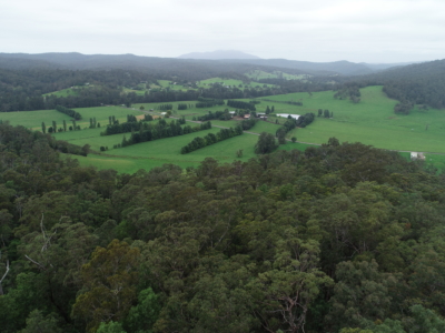
Drone LiDAR survey for DA Survey of Rural Land

October 20, 2020

Drone based contour survey and boundary stakeout of 30ha rural property for…

Read more
DJI_0028
  • All
  • Construction
  • Land Management
  • LiDAR
  • Survey & Laser Scanning

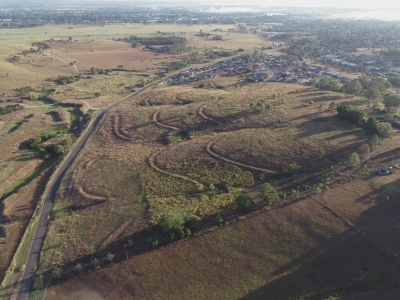
DA Survey of Semi-Rural Property using LiDAR

October 15, 2020

Drone based contour survey of semi-rural property for subdivision planning and DA…

Read more
Make an Enquiry
© Diospatial 2023
info@diospatial.com.au
  • Linkedin
  • Youtube
Digerati Solutions