contour map
Rail Corridor Drainage Mapping
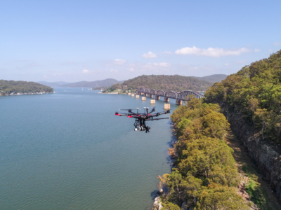
Drone LiDAR survey through dense vegetation to identify and map surface drainage…
Drone LiDAR survey through dense vegetation to identify and map surface drainage…