terrestrial laser scanning
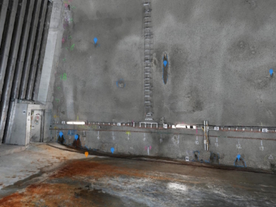
Tunnel Dilapidation Survey
defect mapping of tunnel for pre-construction dilapidation survey using photogrammetry modelling and…
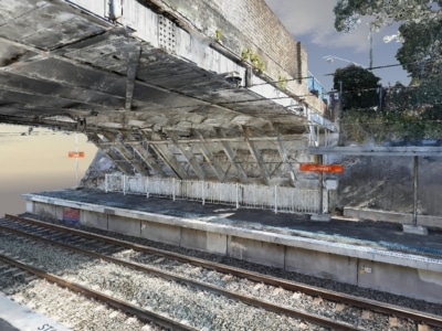
3D Modelling of Rail Bridge
Photogrammetry modelling and terrestrial laser scanning of RAIL bridge for engineering design…
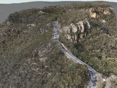
Geospatial Survey of Road Corridor
Drone LiDAR, photogrammetry modelling, terrestrial laser scanning and detail survey of road…
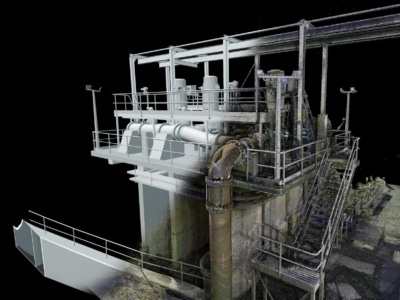
3D Survey & Digital twin of Dam & Water Infrastructure
Drone LiDAR, photogrammetry and high definition terrestrial laser scanning of water infrastructure…
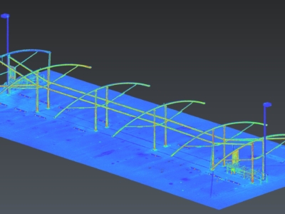
Scan-to-CAD for Fabrication Design
Terrestrial laser scanning As-Built survey of existing shade structure for detailed design…
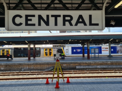
Sydney Central Yard Laser Scanning
Virtual feature and measurement extraction to assist with OHL tension analysis, reporting and…
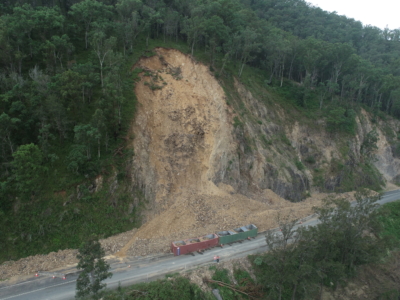
Survey of Multiple Landslides
Combining drone lidar, photogrammetry and terrestrial laser scanning of multiple landslip sites…

