digital elevation model
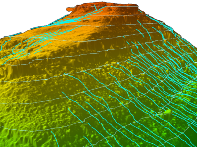
Slope Drainage Monitoring and Watershed Analysis
LiDAR and geospatial analysis of rail corridor slopes for inspection and monitoring…
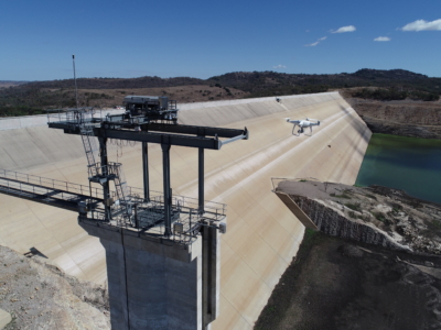
Inspection, Survey and Defect Mapping of Dam using Photogrammetry, Thermal IR and Imaging
High resolution inspection and defect mapping over more than 60,000m2 of concrete…