Survey of Residential Building
As-Built SURVEY AND Scan-to-Revit workflow OF RESIDENTIAL APARTMENT FOR DESIGN of remediation works AND ongoing maintenance.
PROJECT OVERVIEW
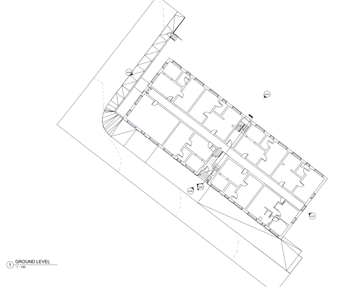
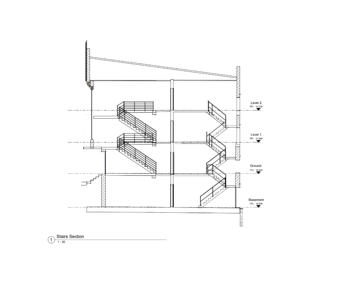
Diospatial was engaged to produce a millimetre accurate Revit model and plan and elevation drawings of a residential apartment building. The scope included high resolution survey of all accessible internals, externals across the 4 storeys, including detail survey of 29 apartments, roof cavity and basement level.
The resulting data was to be used in engineering design and planning of future works and ongoing maintenance.
DIOSPATIAL SOLUTION
Diospatial developed a scan-to-Revit survey solution utilised terrestrial laser scanning to scan and capture internals and externals of the residential apartment.
Over 430 individual laser scans were registered to create a single point cloud of the entire site. The 43 external scans were captured with HDR imagery to colourise the final external point cloud and provide coloured imagery in the panorama tour software. The point cloud achieved an accuracy of approximately 5mm.
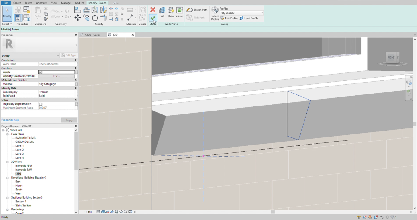
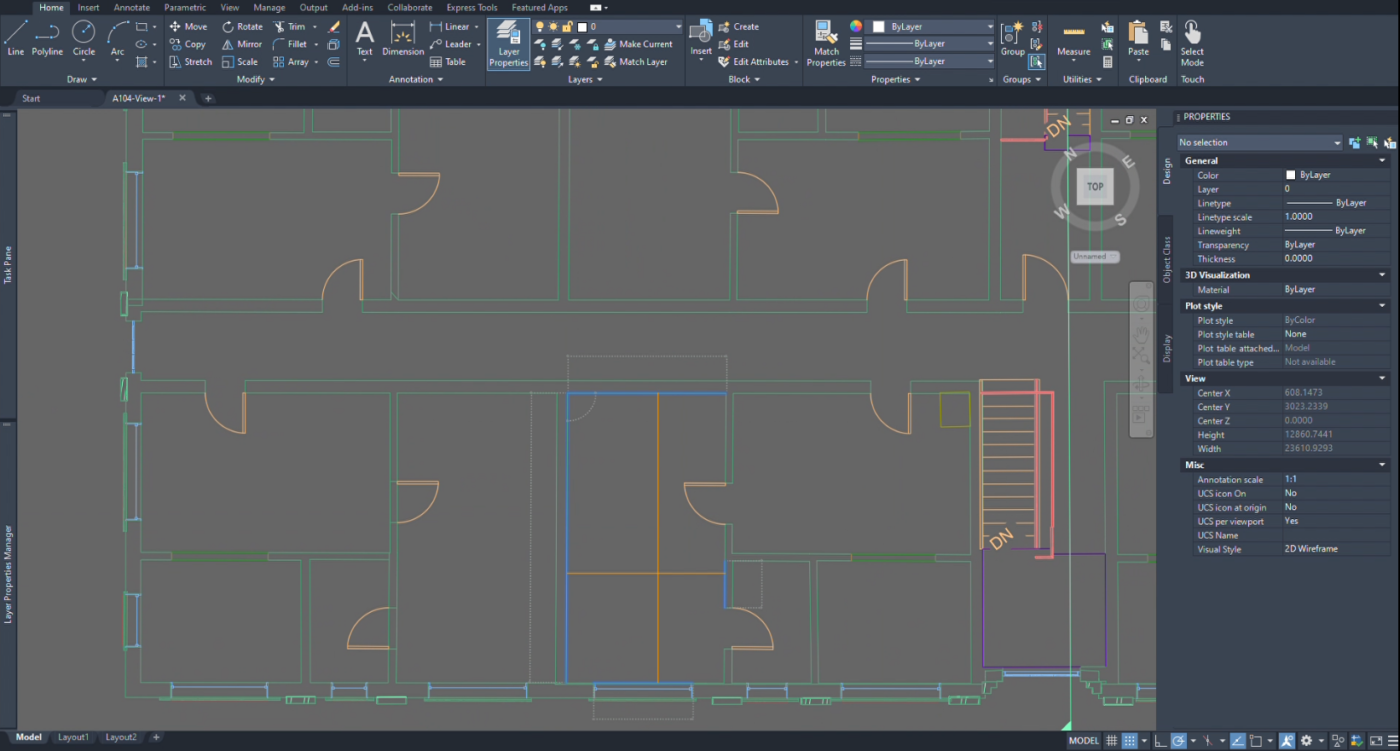
Autodesk Revit was used to develop an LOD200 model based on feature extraction from the point cloud data. From the Revit model, plans, elevations and cross-sections at any point in the entire building could be readily generated as required.
Laser scanning allowed for rapid capture of the entire building and delivered millimetre accurate plan and elevation drawings.
Field works were completed over 2 days on-site with a 2 person crew. Rapid acquisition meant minimal disruption to residential stakeholders. The resulting digital As-Built can be replied upon for engineering assessment, remediation scoping and to serve as a digital As-Built record for the strata corporate to utilise in to the future.
PROJECT SCOPE
Terrestrial Laser Scanning
Scan-to-Revit
Digital As-Built Model