cadastral survey
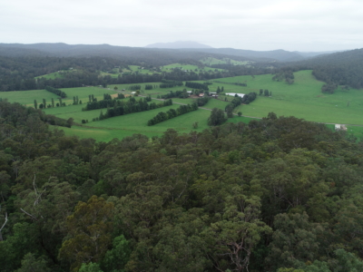
Drone LiDAR survey for DA Survey of Rural Land
Drone based contour survey and boundary stakeout of 30ha rural property for…
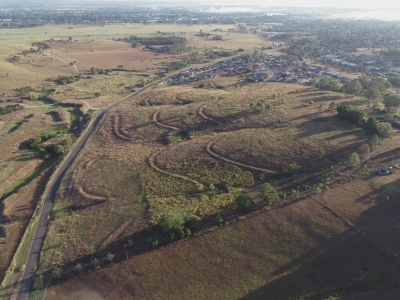
DA Survey of Semi-Rural Property using LiDAR
Drone based contour survey of semi-rural property for subdivision planning and DA…


