rockfall modelling
Geo-Hazard Mapping and Slope Risk Assessment
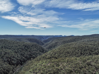
High resolution Drone-LiDAR survey for slope risk assessment of remote and densely…
High resolution Drone-LiDAR survey for slope risk assessment of remote and densely…